Freudenau castle ruin
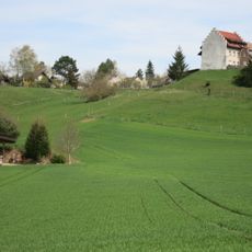
Freudenau castle ruin, Medieval castle ruin in Untersiggenthal, Switzerland
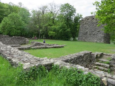
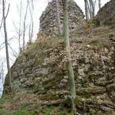
Freudenau is a medieval castle ruin situated on raised terrain above the Aare River near Untersiggenthal. The remaining stone walls and architectural fragments reveal the construction style of this fortification that once dominated the landscape.
The castle was built in 1240 and served for centuries as a Habsburg holding controlling a strategic river crossing. It was destroyed by Zurich forces in 1410, ending its role as a fortified stronghold.
The ruin stands as a symbol of medieval authority and trade control along the river valley. Visitors can experience how the structure once dominated the landscape and shaped movement through the region.
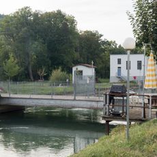
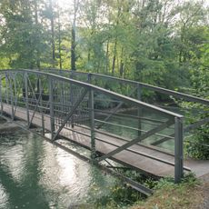
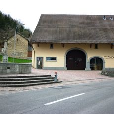
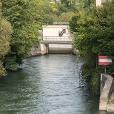
Access to the ruin is reached through marked hiking trails that connect to the riverside path along the Aare and the Geissberg circuit route. The walk offers visitors a way to explore both the site and the surrounding landscape.
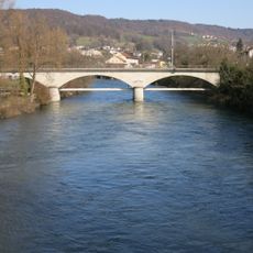
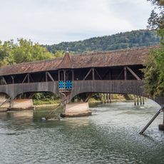
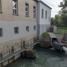
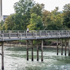
The castle generated income through tolls collected from a nearby river crossing, a vital source of revenue for its operation. When natural forces eventually destroyed that bridge, this income stream ended and the site lost its economic value.
Location: Untersiggenthal
Part of: list of cultural properties in Untersiggenthal
GPS coordinates: 47.51234,8.23422
Latest update: December 9, 2025 12:26
Sperrstelle Gebenstorf
2 km
Besserstein ruins
2.2 km
Railway bridge Turgi-Untersiggenthal
2.3 km
Evangelical reformed church
2.1 km
Holzbrücke Ennetturgi
2.3 km
Iberig
1.6 km
Reformed Church Villigen
2.3 km
Stroppel "Girls' Home"
776 m
Former Bebié administration building
2.4 km
Kraftwerk Stroppel-Wehrbrücke (Stroppelkanal)
1.2 km
Stroppelinsel-Brücke (Stroppelkanal)
944 m
Former Kappeler-Bebié cotton mill
2.4 km
Former cotton warehouse of the spinning mill
2.3 km
Kappelacker; Late Iron Age settlement site
1.4 km
Schmitten fountain
2.1 km
Old schoolhouse
2.1 km
Kraftwerk Stroppel-Steg (Stroppelkanal)
1.2 km
Rural Multi-purpose Building (around 1830)
1.9 km
Halseisen fountain
2.2 km
Stilli Schoolhouse
453 m
Kraftwerk Turgi Insel-Brücke (Kraftwerkkanal)
2.3 km
Church building
1.6 km
Aubrücke (Steigstrasse)
2.3 km
"Meisterhaus" Stroppel
1 km
Limmatspitz-Steg (Kraftwerk Gebenstorf Unterwasserkanal)
1.4 km
Cantonal child observation station
2.3 km
Baldinger-Baumann House
391 m
Restaurant Blauen Engel, former Bailiwick
2.2 kmVisited this place? Tap the stars to rate it and share your experience / photos with the community! Try now! You can cancel it anytime.
Discover hidden gems everywhere you go!
From secret cafés to breathtaking viewpoints, skip the crowded tourist spots and find places that match your style. Our app makes it easy with voice search, smart filtering, route optimization, and insider tips from travelers worldwide. Download now for the complete mobile experience.
A unique approach to discovering new places❞
— Le Figaro
All the places worth exploring❞
— France Info
A tailor-made excursion in just a few clicks❞
— 20 Minutes