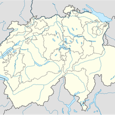
Gross Chärpf, Mountain summit in Glarus, Switzerland
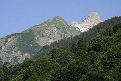
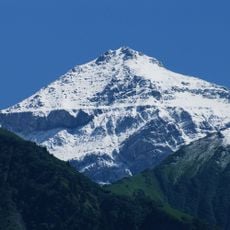
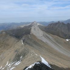
Gross Chärpf is a prominent mountain peak in the Glarus Alps that reaches 2,794 meters and forms a striking elevation within the Tödi-Hausstock Group. The mountain sits between the Linth valley to the north and the Sernf valley to the south, serving as a natural dividing point between two distinct Alpine regions.
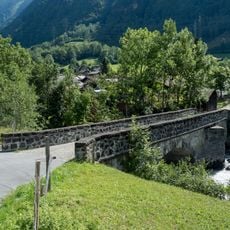
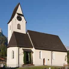
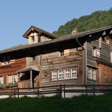
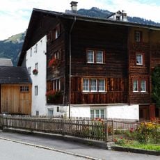
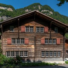
This peak served as an important landmark for early alpine dwellers and herders, helping them divide their lands and manage their pasture territories. Over centuries, the mountain became a known route for travelers and merchants moving between the surrounding valleys.
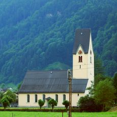
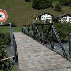
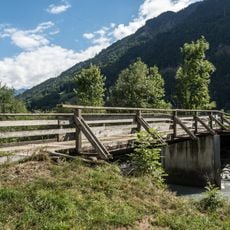
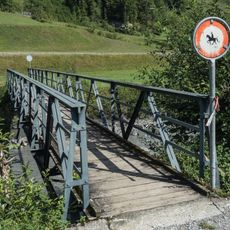
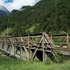
The area around this peak is closely tied to alpine pasturing, with shepherds traditionally driving livestock to higher meadows during warmer months. Local residents from the surrounding valleys have long used mountain routes as vital connections between their communities.
Visitors should be prepared for changing mountain weather and bring warm clothing and protective gear, as conditions can shift rapidly at higher elevations. Several hiking routes of varying difficulty are available, so planning your route beforehand and keeping track of daylight hours is helpful for a safe visit.
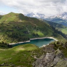
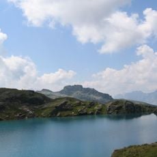
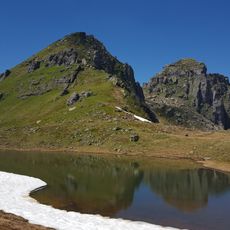
Below the northern face sits the Garichtisee, an alpine lake nestled in a small valley basin that hikers often overlook. This hidden water offers a quiet contrast to the rocky mountain landscape and is reachable via side routes from the main peak.
The community of curious travelers
AroundUs brings together thousands of curated places, local tips, and hidden gems, enriched daily by 60,000 contributors worldwide.