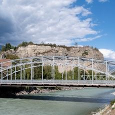
Vallée du Rhône, U-shaped valley in Valais and Vaud, Switzerland.
The Rhône Valley stretches about 80 km from Brig-Glis to Saint-Maurice, a glacial trough carved by the Rhône Glacier. Its flat floor, between 1.8 and 3.6 km wide, drops from 691 m at Brig to 471 m at Martigny, an average gradient of 2.75 m per kilometre. The Rhône flows through it, and the language border between German and French lies at Sierre.
The Rhône glacier carved this glacial trough, which runs about 80 km from Brigue at 691 m to Martigny at 471 m, dropping an average of 2.75 m per kilometre. The river name is first attested in the first half of the 6th century BC as the Latinised Rhodanus, traced by Pierre-Yves Lambert to Celtic *rod, "river", and *danu, "bold". The valley also gave the canton of Valais its name, from Latin Vallenses, "inhabitants of the valley".
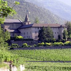
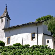
The valley supports extensive vineyards and orchards where apricots thrive in the warm, dry conditions. These agricultural practices have shaped how locals live and use the land for centuries.
The valley floor is easy to navigate, with rail lines and highways running through the main settlements. The good connections make it simple to move through the area and reach other Swiss regions.
The valley stretches about 80 km from Brig to Saint-Maurice, dropping an average of 2.75 m per kilometre. Its floor lies at 691 m at Brig and 471 m at Martigny, and its width varies between 1.8 and 3.6 km. The name Valais itself comes from the Latin Vallenses, "inhabitants of the valley".
The community of curious travelers
AroundUs brings together thousands of curated places, local tips, and hidden gems, enriched daily by 92,786 contributors worldwide.