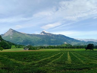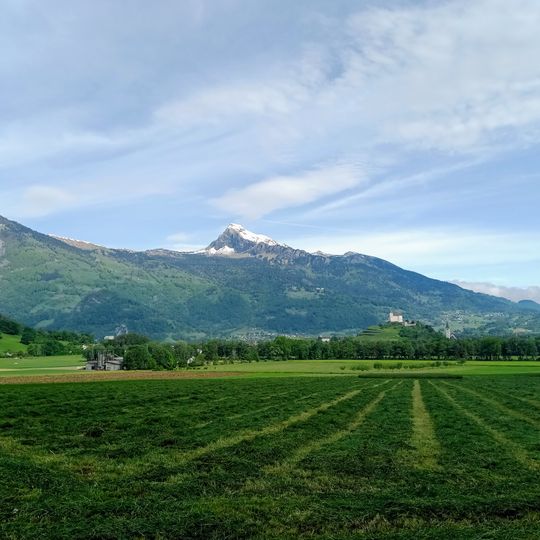
Gauschla, Mountain summit in canton St. Gallen, Switzerland
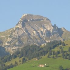
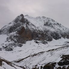
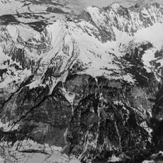
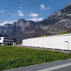
Gauschla is a mountain summit located at 2,310 meters (7,580 feet) on the southern edge of the Alvier range in eastern Switzerland. The peak rises prominently from the surrounding landscape in the canton of St. Gallen with steep slopes on most sides.
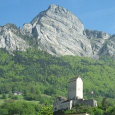
The summit sits at the upper end of the Chammegg, formerly Kammegg, and was used as a triangulation point. The whole mountain lies within the territory of Wartau, the Rheintal municipality that also covers the Palfris plateau above the Seez valley. The Gonzen, its foresummit above Sargans, hides the Gauschla from that town.
The summit sits on the upper end of the Chammegg, formerly spelled Kammegg, a name still used by local herders and hikers for the ridge. The mountain lies entirely within the municipality of Wartau, which also covers the Palfris plateau above the Seez valley. The aerial tram from the Seez valley to Palfris, with its valley station between Flums and Mels, is the traditional access route for farmers and visitors heading toward the peak.
The Seilbahn Palfries, an aerial tram, links the Seez Valley with the Palfries high plateau below the Gauschla; its valley station lies between Flums and Mels. From the plateau the summit is reached on foot. The Gauschla stands on Wartau municipal land above the Seez Valley, and the Gonzen fore-summit hides it from Sargans.
The Gauschla was used as a triangulation point, and its summit sits at the upper end of the Chammegg, formerly Kammegg. The Gonzen, its foresummit above Sargans, hides the Gauschla from that town, so the first two-thousander of the chain is not visible from the valley junction it overlooks.
The community of curious travelers
AroundUs brings together thousands of curated places, local tips, and hidden gems, enriched daily by 93,759 contributors worldwide.