Mont Vuarat, Mountain peak in Veveyse District, Switzerland.
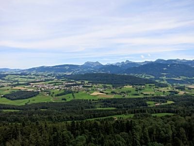
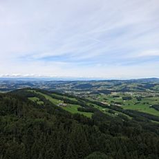
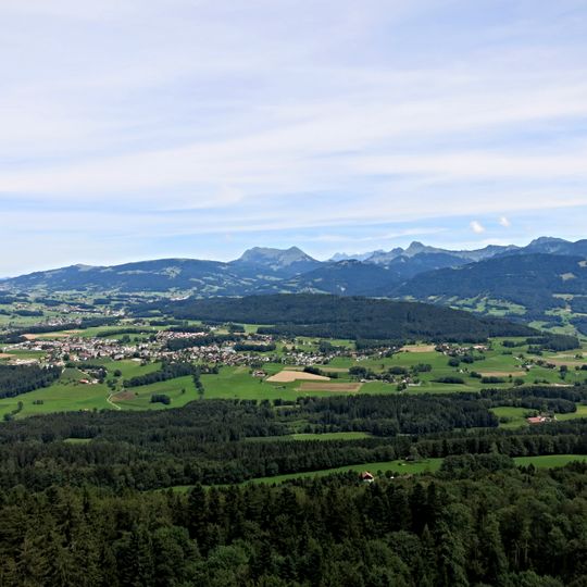
Mont Vuarat is an elongated hill on the municipality of Attalens in the canton of Fribourg, rising to 984 metres. Its steeper north-west slope and summit are wooded with beech, fir and spruce, while the gentler south side, Vaudois territory from about 900 metres, is given over to farming and grazing.
Mont Vuarat is a reddish pudding stone formation, like nearby Mont Pèlerin. The rock is a conglomerate of rounded pebbles cemented together, laid down as sediment and later uplifted to form the hill above Attalens. The elongated ridge runs southwest to northeast along the Prealps edge.
Local residents maintain traditional agricultural practices and cattle grazing activities on the southern slopes of Mont Vuarat throughout the seasons.
A circular hiking path around the mountain covers about 7 kilometers with roughly 280 meters of elevation gain and takes about 2 hours to complete. The route passes through different elevation zones and offers varying views along the way.
The summit and its steep north-west flank lie in the municipality of Attalens, while the gentler southern slope belongs to Vaud from about 900 metres up. The Monts-de-Corsier occupy much of that Vaudois side, where farming and cattle raising replaced forest.
The community of curious travelers
AroundUs brings together thousands of curated places, local tips, and hidden gems, enriched daily by 94,083 contributors worldwide.