
Camino, mountain in Switzerland
Location: Vallemaggia District
Elevation above the sea: 2,489 m
GPS coordinates: 46.33610,8.52250
Latest update: March 11, 2025 01:32
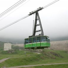
Funivia San Carlo-Robiei
8.3 km
Pizzo Bièla
4.6 km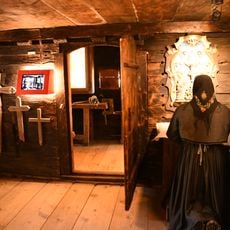
Walserhaus (collection)
3.3 km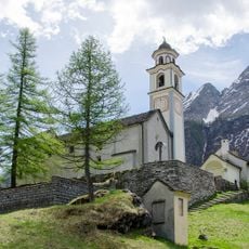
Santi Giacomo e Cristoforo Parish Church
3.2 km
Martschenspitz
4.9 km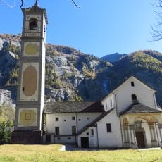
Santi Bernardo e Carlo
7.6 km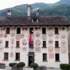
Pretorio
6.5 km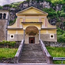
Santa Maria Assunta e San Giovanni Battista Church
6.3 km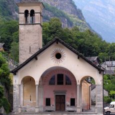
Santa Maria del Ponte alla Rovana Church
6.4 km
Pedrazzini Houses
5.7 km
San Bernardo Parish Church
5.6 km
San Giovanni Battista Oratory
5.7 km
Santa Maria delle Grazie parish church with ossuary and parish house
3.6 km
Valmaggia Museum
6.3 km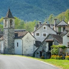
Oratorio di Ritorto
4.7 km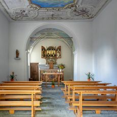
Oratorio di Foroglio
4.6 km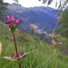
Ritzberg
6.3 km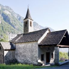
Oratorio di Santa Maria delle Grazie
7.3 km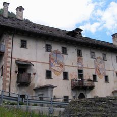
Pedrezzini Houses and San Giovanni Battista Oratory
5.6 km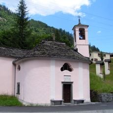
Stations of the Cross with Oratory Santa Maria Addolorata
5.6 km
Madonna del Monte Chapel
7.2 km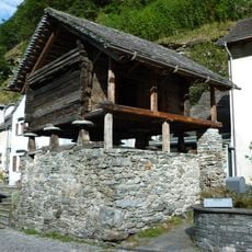
Granary on supports
6.7 km
Beata Vergine Oratory
4.6 km
Bignasco bridge
6.7 km
Oratorio di Sant'Antonio da Padova
7.3 km
Respini-Moretti House
6.4 km
Franzoni House
6.3 km
Granary on supports (peat)
2.9 kmReviews
Visited this place? Tap the stars to rate it and share your experience / photos with the community! Try now! You can cancel it anytime.
Discover hidden gems everywhere you go!
From secret cafés to breathtaking viewpoints, skip the crowded tourist spots and find places that match your style. Our app makes it easy with voice search, smart filtering, route optimization, and insider tips from travelers worldwide. Download now for the complete mobile experience.

A unique approach to discovering new places❞
— Le Figaro
All the places worth exploring❞
— France Info
A tailor-made excursion in just a few clicks❞
— 20 Minutes