
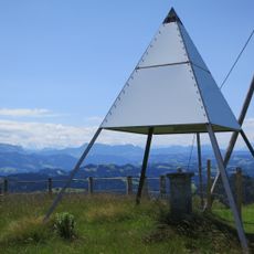
Rotchnubel, mountain in Switzerland
Location: Emmental administrative district
Elevation above the sea: 1,212 m
GPS coordinates: 46.99883,7.85952
Latest update: March 28, 2025 09:30
Napf
6.1 km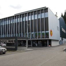
Emmental Versicherung Arena
8.9 km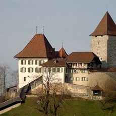
Trachselwald Castle
9.2 km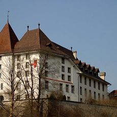
Schloss Spittel
8.2 km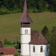
Trub Abbey
6.3 km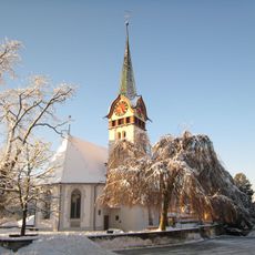
Reformed church
8.5 km
Ahorn
5.4 km
Catholic church
8.4 km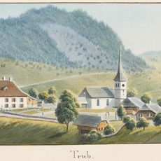
Rectory
6.3 km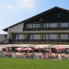
Lüderenalp
2.5 km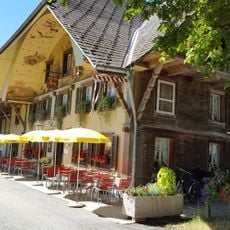
Oberwald
8.6 km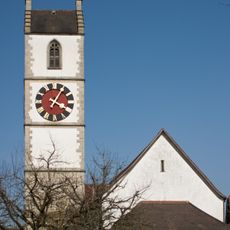
Reformed Church
9.3 km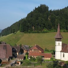
Reformed church with rectory, oven house and part of the former monastery
6.3 km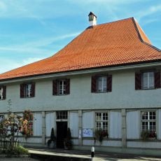
Rectory
9.2 km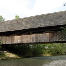
Covered moss bridge
8.2 km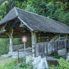
Covered Fuhren bridge (staggered) over the Trueb
6.9 km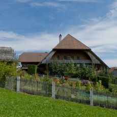
Dürsrüti farm
8.9 km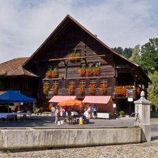
Chüechlihaus (building)
8.4 km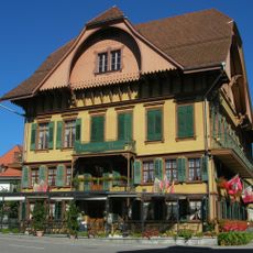
Bären Inn
9.2 km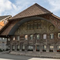
Himmelhaus
8.6 km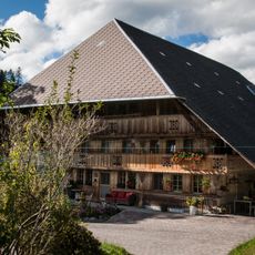
Ober-Brandösch farmhouse
3.9 km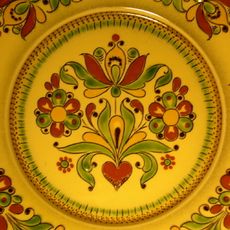
Chüechlihaus (collection)
8.4 km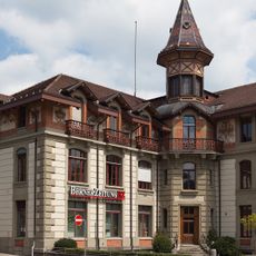
Former BZ print shop
8.6 km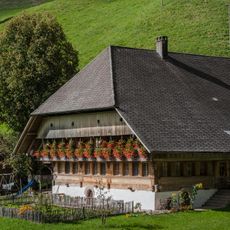
Schmittenhof farmhouse
7.5 km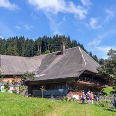
Farmhouse
4.6 km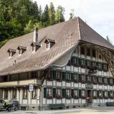
Bären Inn
8.5 km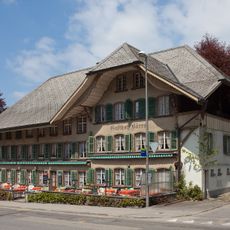
Bären Inn
8.5 km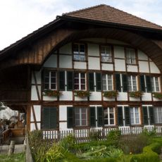
Hasenlehn
8.6 kmReviews
Visited this place? Tap the stars to rate it and share your experience / photos with the community! Try now! You can cancel it anytime.
Discover hidden gems everywhere you go!
From secret cafés to breathtaking viewpoints, skip the crowded tourist spots and find places that match your style. Our app makes it easy with voice search, smart filtering, route optimization, and insider tips from travelers worldwide. Download now for the complete mobile experience.

A unique approach to discovering new places❞
— Le Figaro
All the places worth exploring❞
— France Info
A tailor-made excursion in just a few clicks❞
— 20 Minutes