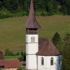
Napf, Mountain summit at the border of Bern and Lucerne, Switzerland
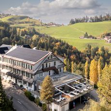
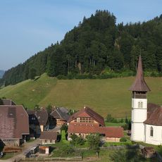
Napf is a mountain summit located at the border between Bern and Lucerne, made of conglomerate rock and rising to about 1408 meters. The slopes are covered with dense spruce and fir forests that open up only at the scattered farms, where meadows are kept clear for grazing.
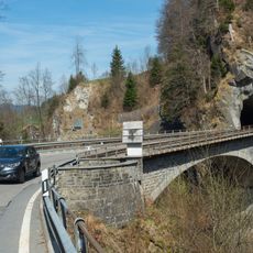
The mountain sits on the Brunig-Napf-Reuss line, which has marked the boundary between different Swiss regions for many centuries. This geographic division has influenced how the areas on each side developed differently over time.
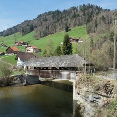
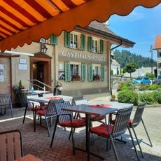
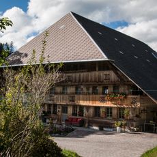
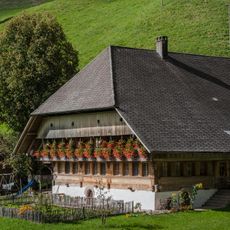
The mountain farms on the slopes are run by families who raise cattle and make cheese, continuing work that has shaped how this region looks and feels. Walking through the area, you notice the stone barns and the well-maintained pastures that form the backbone of local identity.
Marked hiking trails approach the summit from various villages like Romoos and Luthern, with options for different fitness levels. The walking season runs from May through October, when weather is most stable and paths are clear.
Despite its height, the summit remains covered in forest rather than exposed rock, a feature that sets it apart from most other Swiss peaks. This happens because the location receives high rainfall and sits in a humid mountain climate.
The community of curious travelers
AroundUs brings together thousands of curated places, local tips, and hidden gems, enriched daily by 60,000 contributors worldwide.