Canton of Lucerne, Canton in Central Switzerland
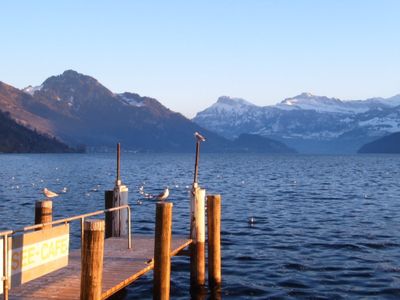
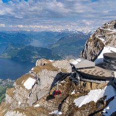
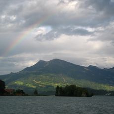
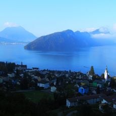
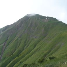
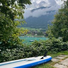
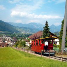
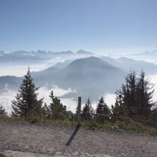
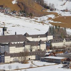
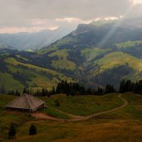
Canton of Lucerne is an administrative division in central Switzerland with lakes, rivers and mountains across roughly 1,490 square kilometers (575 square miles). The territory ranges from flat farmland through rolling hills to alpine summits, with the lake forming the northern boundary.
The territory joined the Swiss Confederation in 1332 and secured political stability through this alliance. Between 1380 and 1481, several neighboring towns were acquired through strategic purchases, which expanded the area of influence.
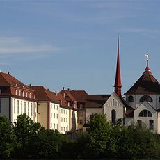
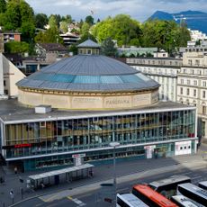
The name comes from the main city, which itself derives from the Latin word for lamp or lantern. Residents speak an Alemannic dialect in daily life that belongs to the High Alemannic language group and differs clearly from standard German.
The area includes six administrative constituencies ranging from rural valleys to urban centers. German is the official language used in government offices and public institutions.
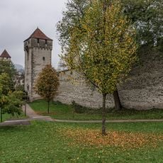
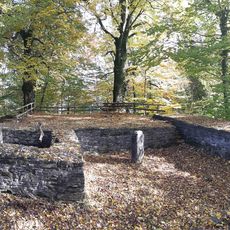
Archaeological finds such as stone tools and Roman settlement remains show human presence dating back roughly 30,000 years. Early medieval burial sites of the Alamanni demonstrate continuous use by different populations through the Middle Ages.
Location: Switzerland
Inception: 1332
Capital city: Lucerne
Elevation above the sea: 436 m
Reference: LU
Part of: Central Switzerland
Shares border with: Bern, Aargau, Canton of Schwyz, Canton of Zug, Canton of Obwalden, Canton of Nidwalden
Website: http://lu.ch
GPS coordinates: 47.08333,8.11667
Latest update: December 13, 2025 16:11
Lion Monument Lucerne
15 km
Chapel Bridge
14.9 km
Pilatus
14.3 km
Rigi
28.1 km
Hammetschwand Elevator
23.1 km
Pilatus railway
18.7 km
Bürgenstock
23.3 km
Hohle Gasse
25.5 km
Lucerne Culture and Congress Centre
15.3 km
Lucerne
15.1 km
Brienzer Rothorn
33.4 km
Former Benedictine monastery Muri
27.1 km
Lungerersee
31.5 km
Museggmauer
14.6 km
Stanserhorn funicular
23.3 km
Kooperative Speicherbibliothek Schweiz
14.8 km
Burgruine Bottenstein
23.9 km
Swiss Museum of Transport
16.9 km
Buttisholz Castle
3.8 km
Stanserhorn
24.1 km
Älggi-Alp
32.5 km
Napf
16.1 km
Church of St. Leodegar
15.3 km
Gütsch castle
14 km
Landessender Beromünster
12.6 km
Engelberg Abbey
36.8 km
Bourbaki-Panorama
15 km
Bürgenstock Resort
22 kmVisited this place? Tap the stars to rate it and share your experience / photos with the community! Try now! You can cancel it anytime.
Discover hidden gems everywhere you go!
From secret cafés to breathtaking viewpoints, skip the crowded tourist spots and find places that match your style. Our app makes it easy with voice search, smart filtering, route optimization, and insider tips from travelers worldwide. Download now for the complete mobile experience.
A unique approach to discovering new places❞
— Le Figaro
All the places worth exploring❞
— France Info
A tailor-made excursion in just a few clicks❞
— 20 Minutes