
Dent Rouge, mountain in Switzerland
Location: Aigle District
Elevation above the sea: 2,225 m
GPS coordinates: 46.22995,7.08308
Latest update: March 13, 2025 17:49
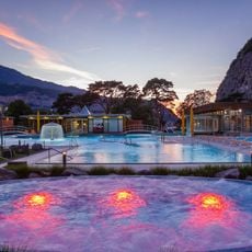
Les Bains de Lavey
5.8 km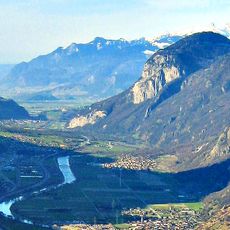
Fort de Dailly
4.3 km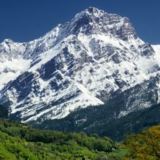
Grand Muveran
3.4 km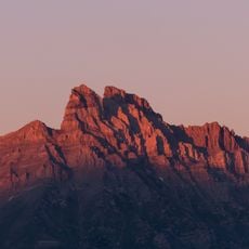
Dents de Morcles
3.5 km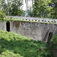
Dufour fortifications
5.9 km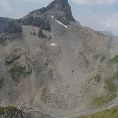
Petit Muveran
3.1 km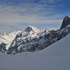
Dent Favre
2.7 km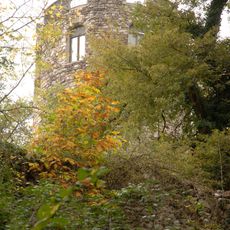
Duin Tower
4.9 km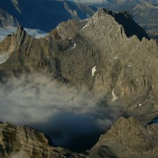
Tête à Pierre Grept
6.1 km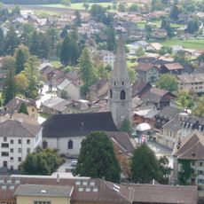
Temple de Bex
5.9 km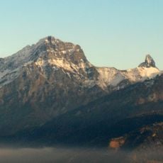
Pointe des Savolaires
642 m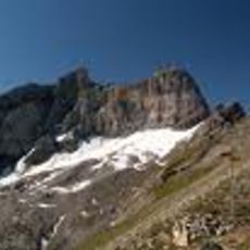
Glacier des Martinets
3.1 km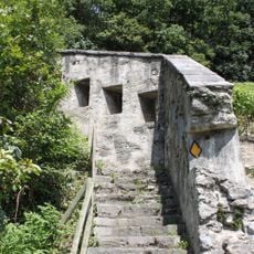
Fortifications de l'Arzillier
5.9 km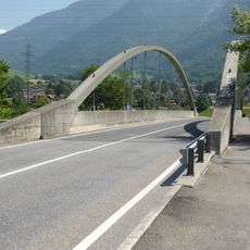
Pont de Lavey
5.9 km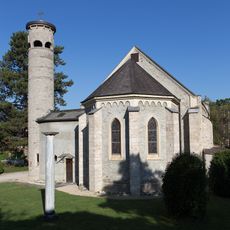
Catholic church of Bex
5.7 km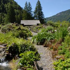
Botanical garden "La Thomasia"
3.2 km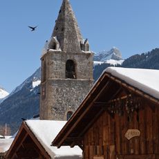
Saint-Jean reformed church
5.1 km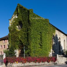
Ancienne église libre
5.9 km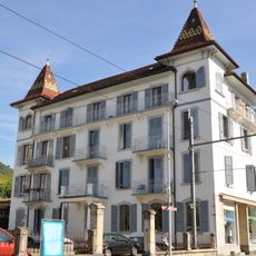
Former Hôtel des Bains
6 km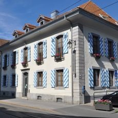
Hôtel de ville
5.8 km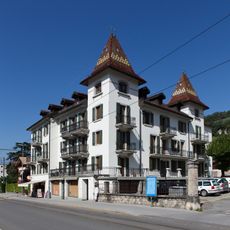
Former Hôtel des Bains
6.1 km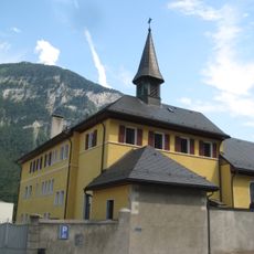
Capuchin convent and church
6.1 km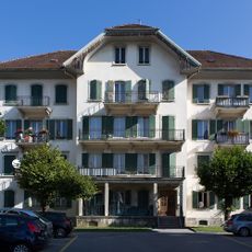
Former Hôtel des Bains
6.1 km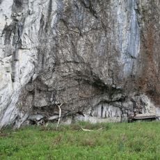
Abri sous Roche
6 km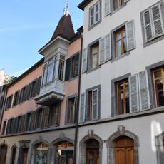
Maison de Bons
6.1 km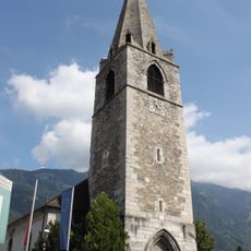
Spire of the church in Bex
5.9 km
Château Grenier, its outbuilding and park
5.2 km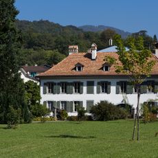
Château Feuillet
5.8 kmReviews
Visited this place? Tap the stars to rate it and share your experience / photos with the community! Try now! You can cancel it anytime.
Discover hidden gems everywhere you go!
From secret cafés to breathtaking viewpoints, skip the crowded tourist spots and find places that match your style. Our app makes it easy with voice search, smart filtering, route optimization, and insider tips from travelers worldwide. Download now for the complete mobile experience.

A unique approach to discovering new places❞
— Le Figaro
All the places worth exploring❞
— France Info
A tailor-made excursion in just a few clicks❞
— 20 Minutes