
Aula, mountain in Switzerland
Location: Locarno District
Elevation above the sea: 1,396 m
GPS coordinates: 46.18042,8.65090
Latest update: April 9, 2025 06:20
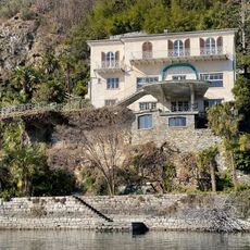
Casa Monte Tabor
7.3 km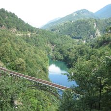
Lago di Palagnedra
3 km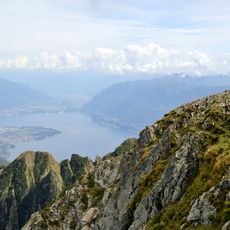
Gridone
6.4 km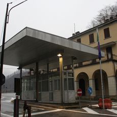
Boundary point of Ponte Ribellasca
4.7 km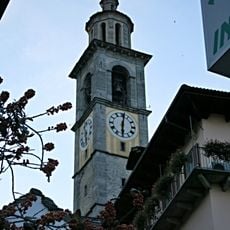
San Gottardo church tower
3.8 km
Pizzo Ruscada
4.5 km
San Gottardo Parish Church
3.8 km
Casa Döbeli
3.3 km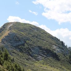
Pizzo Peloso
5.6 km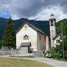
St Michael's parish church
3.2 km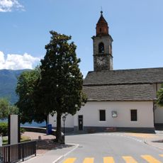
San Martino Parish Church
7.2 km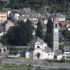
San Fedele Parish Church with cimetry and rectory
6.3 km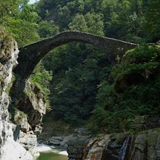
Ponte Melezza
3.1 km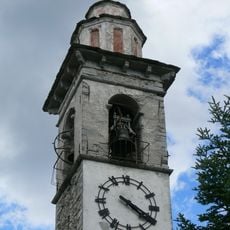
Sant’Anna Church
2.7 km
Pizzo della Croce
3.8 km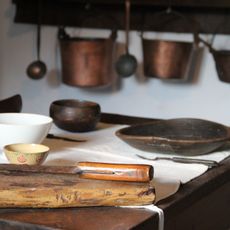
Regional museum Centovalli and Pedemonte
3.8 km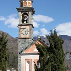
San Michele
5.3 km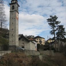
San Defendente Parish Church
2.8 km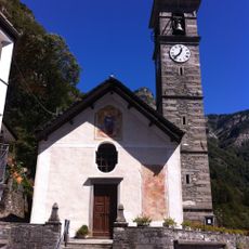
Santa Maria Assunta Parish Church
3.2 km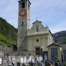
San Remigio
3.3 km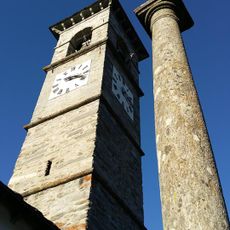
San Giovanni Battiste Parish Church and Ossuary
6.3 km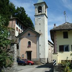
San Bernardo Parish Church
2.2 km
Santa Maria Nascente Oratory
2.6 km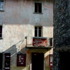
Teatro Dimitri
6.2 km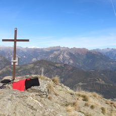
Pizzo Leone
4.8 km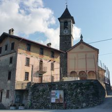
Chiesa della Visitazione
6.4 km
Costa
2.8 km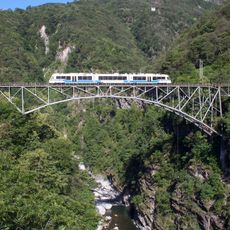
Isorno bridge
3.9 kmReviews
Visited this place? Tap the stars to rate it and share your experience / photos with the community! Try now! You can cancel it anytime.
Discover hidden gems everywhere you go!
From secret cafés to breathtaking viewpoints, skip the crowded tourist spots and find places that match your style. Our app makes it easy with voice search, smart filtering, route optimization, and insider tips from travelers worldwide. Download now for the complete mobile experience.

A unique approach to discovering new places❞
— Le Figaro
All the places worth exploring❞
— France Info
A tailor-made excursion in just a few clicks❞
— 20 Minutes