
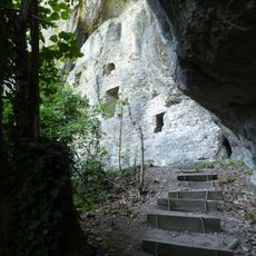
Montlingerberg, archäologische Stätte in der Schweiz
Location: Oberriet
Location: canton St. Gallen
GPS coordinates: 47.33712,9.58712
Latest update: March 6, 2025 07:02

Wichenstein Castle
2.7 km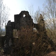
Burgruine Neuburg
3.1 km
Schloss Blatten
3.6 km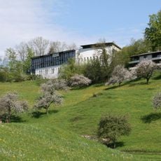
Bildungshaus St. Arbogast
4.2 km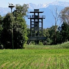
Aussichtsturm Bannriet
2 km
Alte Pfarrkirche hl. Ulrich
4 km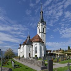
Pfarrkirche Hl. Kilian
1.3 km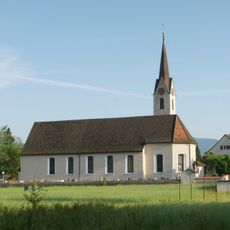
Pfarrkirche Hl. Bartholomäus
3.1 km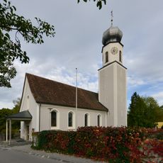
Church of Holy Agatha
4.2 km
Kulturbühne Ambach
4.1 km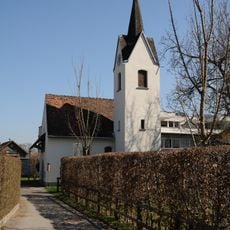
Rochuskapelle
2.2 km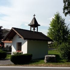
Kapelle Rheinmahd
2.7 km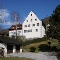
Ansitz, Birkach
2.6 km
Altes Kino (Vereinshaus)
4.1 km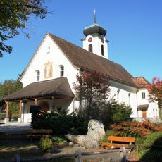
Catholic church St. Sebastian
3.6 km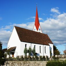
Montlingen, katholische Kirche St. Johannes der Täufer
361 m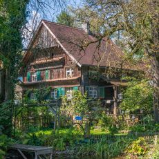
Hadeldorfstraße 5
4.2 km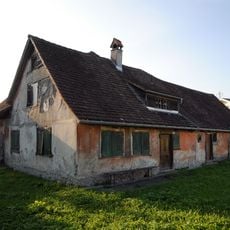
Bauernhof (Anlage)
2.5 km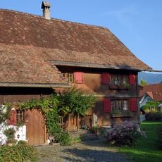
Bauernhaus, Rheintalhaus
2.5 km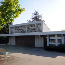
Leichenhalle
3.9 km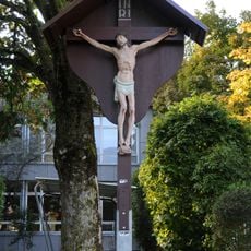
Kruzifix
3 km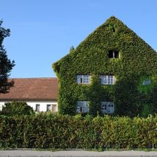
Wohnhaus, Mäderer Schlößle
3.1 km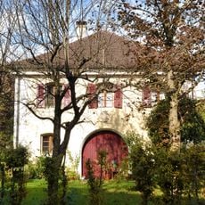
Wohnhaus, ehem. Dogana
3.9 km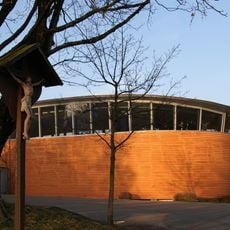
Gemeindesaal Mäder (J.J. Ender-Saal)
3 km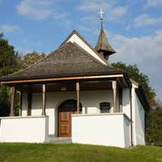
Sankt Anna-Kapelle, Montlingen
200 m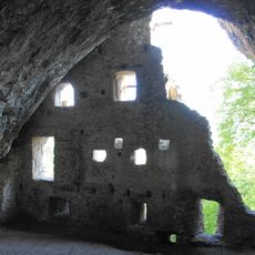
Ruine Wichenstein
2.7 km
Rothus (Gemeindemuseum)
1.9 km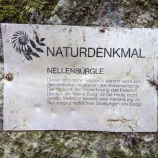
Nellenbürgle
1.5 kmReviews
Visited this place? Tap the stars to rate it and share your experience / photos with the community! Try now! You can cancel it anytime.
Discover hidden gems everywhere you go!
From secret cafés to breathtaking viewpoints, skip the crowded tourist spots and find places that match your style. Our app makes it easy with voice search, smart filtering, route optimization, and insider tips from travelers worldwide. Download now for the complete mobile experience.

A unique approach to discovering new places❞
— Le Figaro
All the places worth exploring❞
— France Info
A tailor-made excursion in just a few clicks❞
— 20 Minutes