
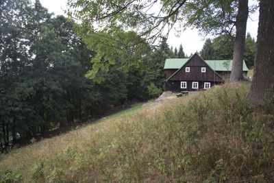
Hleďsebe, village in Semily District of Liberec region
Location: Rokytnice nad Jizerou
GPS coordinates: 50.74780,15.43250
Latest update: March 7, 2025 19:34
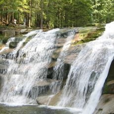
Mumlava Waterfall
2.9 km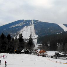
Teufelsberg
1.5 km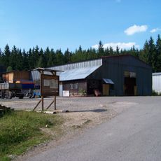
Hornické muzeum Harrachov
2.4 km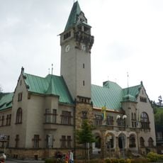
Town hall in Rokytnice nad Jizerou
2.5 km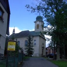
Church of Saint Wenceslaus
2.7 km
Brand Berg
725 m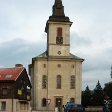
Church of Saint Michael
2.3 km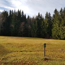
Anenské údolí
2.8 km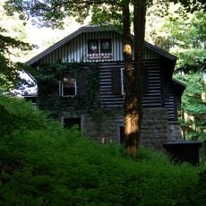
Mumlavská bouda
2.9 km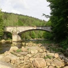
Old bridge Kořenov–Mýto
2.9 km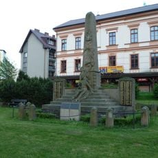
World War I memorial in Rokytnice nad Jizerou
2.5 km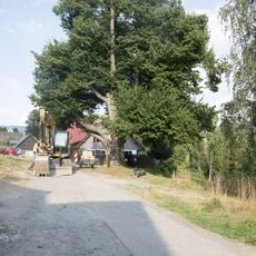
Tilia platyphyllos Scop. in Rokytnice nad Jizerou
2.9 km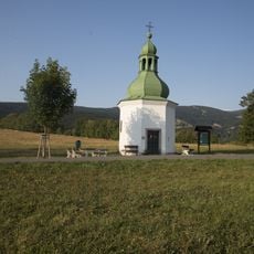
Kaple Matky Terezy z Kalkaty pod Kostelním vrchem
2.9 km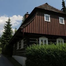
Usedlost čp. 205
2.3 km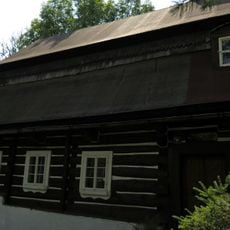
Dům čp. 184
2.3 km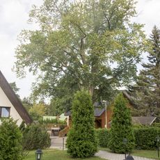
Elm at Harrachovka
3.4 km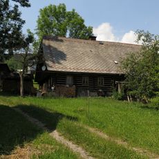
Usedlost čp. 84
3.3 km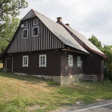
Homestead No. 152 in Makov
3.3 km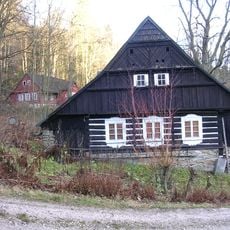
Usedlost čp. 196
3 km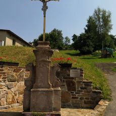
Krucifix
3.4 km
Dům čp. 30, Hranice
979 m
Dům čp. 290
3.2 km
Usedlost čp. 5
3.4 km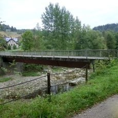
Bridge over the Jizera in Vilémov
1.9 km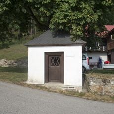
Chapel of Holy Trinity
2.3 km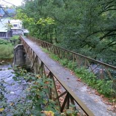
Footbridge Dolní Rokytnice - Zadní Blansko
3.4 km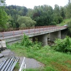
Most Rokytnice nad Jizerou - Paseky nad Jizerou
3 km
Lávka pod mosty přes Huťský potok v Dolní Rokytnici
3.3 kmReviews
Visited this place? Tap the stars to rate it and share your experience / photos with the community! Try now! You can cancel it anytime.
Discover hidden gems everywhere you go!
From secret cafés to breathtaking viewpoints, skip the crowded tourist spots and find places that match your style. Our app makes it easy with voice search, smart filtering, route optimization, and insider tips from travelers worldwide. Download now for the complete mobile experience.

A unique approach to discovering new places❞
— Le Figaro
All the places worth exploring❞
— France Info
A tailor-made excursion in just a few clicks❞
— 20 Minutes