Taucha, Administrative division in Nordsachsen, Germany.
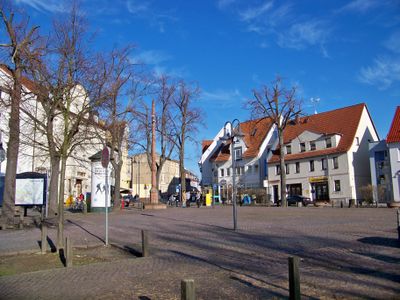
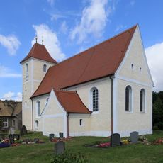
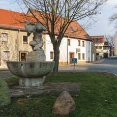
Taucha is a municipality in Nordsachsen, located about 9 kilometers northeast of Leipzig and stretching along the Parthe River. The town encompasses eight districts woven together to form a connected administrative area with varied landscapes.
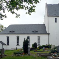
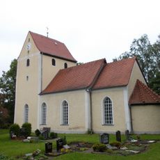
The settlement was first recorded in 974, and town rights came in 1170 from the Archbishop of Magdeburg. This early recognition established the place as an important local center.
The town maintains ties with French municipalities, bringing European perspectives into local life through cultural exchanges and partnerships. These connections shape how residents view their community as part of a wider European network.
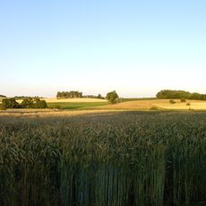
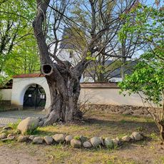
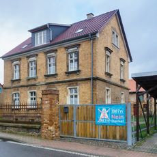
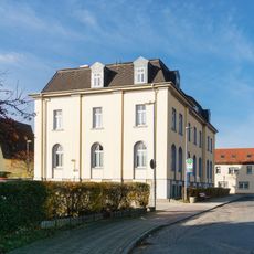
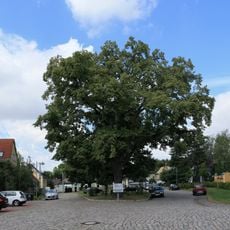
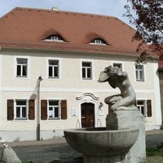
The town is accessible for visitors exploring the Leipzig area, and the riverside location offers opportunities for outdoor walks. The spread across multiple districts means there is space to wander and discover different parts at a relaxed pace.
In 1621, the town operated a mint that produced special coins during a period of financial turmoil. This episode reveals how the place served a role in the regional economy during turbulent times.
Location: Nordsachsen
Elevation above the sea: 128 m
Shares border with: Borsdorf, Machern, Leipzig
Website: https://taucha.de
GPS coordinates: 51.38000,12.49361
Latest update: December 22, 2025 15:52
Kirche Panitzsch
3.3 kmBürgerpark Paunsdorf
3.1 km
St. Moritz
524 m
Martin-Luther-Kirche Dewitz
2.2 km
St. Katharina (Sehlis)
3.1 km
Dorfkirche Weltewitz
6.4 km
Katharinenkirche Seegeritz
2 km
Steinertsberg
1.8 kmEhemalige Schule, mit später angebauter Parentationshalle zum Kirchhof Lindenplatz 4
6.3 km
Taucha (b Leipzig) railway station
544 m
Endmoränenlandschaft zwischen Taucha und Eilenburg
5.3 km
Rathaus Taucha
383 mKriekauer Straße 13
249 m
Lime tree on church hill Panitzsch
3.3 km
Plösitzer Straße 9
2.9 km
Stadtpark Taucha
1.1 kmMilch-Berg
4.3 kmSchule Wodanstraße 40
2.8 km
Ehemalige Schule (östlicher Flügel einer U-förmigen Schulanlage) Kirchplatz 4
544 m
Teichstraße 5
3.1 km
Gedenkstein (neben der Schule Hauptstraße 10) Hauptstraße 10 (neben)
3.3 km
Bismarck-Tilia in Weltewitz
6.3 km
Margarete-Blank-Gedenkstätte
3.9 km
Wohnhaus (ehemals Diakonat) in halboffener Bebauung Rudolf-Winkelmann-Straße 3
550 m
Windmühle Merkwitz
3.3 km
Parthebrunnen
534 mEinzeldenkmal o. g. Sachgesamtheit: acht Mehrfamilienhäuser (Nr. 4/6, Nr. 8, Nr. 9/11, Nr. 10/10a, Nr. 12/12a, Nr. 13, Nr. 15/15a, Nr. 17/17a) einer Wohnanlage, mit Verbindungsbau zwischen Nr. 10 und Nr. 12 (siehe auch Sachgesamtheitsdokument - Obj.
548 m
OdF-Denkmal
109 mVisited this place? Tap the stars to rate it and share your experience / photos with the community! Try now! You can cancel it anytime.
Discover hidden gems everywhere you go!
From secret cafés to breathtaking viewpoints, skip the crowded tourist spots and find places that match your style. Our app makes it easy with voice search, smart filtering, route optimization, and insider tips from travelers worldwide. Download now for the complete mobile experience.
A unique approach to discovering new places❞
— Le Figaro
All the places worth exploring❞
— France Info
A tailor-made excursion in just a few clicks❞
— 20 Minutes