Enable Location

We need your location to show you interesting places around you

Discover nearby places

Find interesting locations and hidden gems around you

Precise directions

Get accurate directions and distances to places

Your location is never shared with other users. It's only used when you tap the location button.

Eisenhüttenstadt

Log in to your account

Start exploring — it's free

Trusted by 63,118 travelers worldwide

Continue with Google
Continue with Apple
or

We will send you a code to connect

By continuing, you accept our Terms and Conditions and our Privacy Policy

Check your inbox

We've sent a pincode in your inbox. Please enter the code below.

Discussion Reviews 2 Photos
132k Popularity

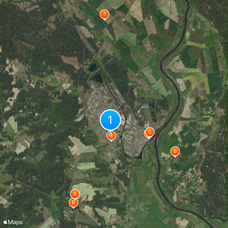
Eisenhüttenstadt, Planned industrial community in Brandenburg, Germany

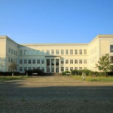
Eisenhüttenstadt is a planned industrial settlement in Oder-Spree District, Brandenburg, near the Polish border. Wide boulevards connect residential blocks with public squares and administrative buildings arranged in an even grid.

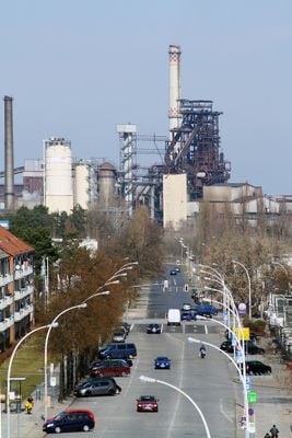
The settlement arose in 1950 beside a steel mill as a socialist model town and was first called Stalinstadt. After destalinization, it was renamed Eisenhüttenstadt in 1961 and grew into a major industrial center of the German Democratic Republic.

Street names honor workers' movements and socialist figures, reflecting the founding ideals of this industrial settlement. Green spaces between apartment blocks follow a strict geometric pattern that mirrors the rational planning of that era.

A walk along the main axis reveals typical features of socialist urban planning with symmetrical apartment blocks and wide sidewalks. The town lies on federal road 112, which offers a direct connection to Frankfurt (Oder) and the Polish border.

The steel mill continues to produce iron and steel, though the workforce has dropped from a peak of 12,000 employees to around 2,500 today. The original apartment blocks were painted in bright colors after reunification to soften the gray monotony of the socialist era.

The community of curious travelers

AroundUs brings together thousands of curated places, local tips, and hidden gems, enriched daily by 60,000 contributors worldwide.

Start exploring
Location
Frankfurt (Oder) District
Inception
1950
Elevation above the sea
45 m
GPS coordinates
52.14655,14.63001
Latest update
December 15, 2025 13:04
Reviews
Share your experience

No review yet

Discussions
Start a discussion...

No discussion yet

« Eisenhüttenstadt - Planned industrial community in Brandenburg, Germany » is provided by Around Us (aroundus.com). Images and texts are derived from Wikimedia project under a Creative Commons license. You are allowed to copy, distribute, and modify copies of this page, under the conditions set by the license, as long as this note is clearly visible.

Discover hidden gems everywhere you go!

From secret cafés to breathtaking viewpoints, skip the crowded tourist spots and find places that match your style. Our app makes it easy with voice search, smart filtering, route optimization, and insider tips from travelers worldwide. Download now for the complete mobile experience.

Around Us App Screenshot

A unique approach to discovering new places

Le Figaro

All the places worth exploring

France Info

A tailor-made excursion in just a few clicks

20 Minutes

Around Us
Travel Guide & Maps
Download

Send to your phone

QR Code
1

Open the camera app on your mobile.

2

Point at the QR code with your camera. A notification will appear.

3

Tap the notification to open the link.