Oer-Erkenschwick, Urban municipality in Recklinghausen district, North Rhine-Westphalia, Germany
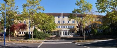
Oer-Erkenschwick is an urban municipality in Recklinghausen district, North Rhine-Westphalia, consisting of three neighborhoods: Oer, Rapen, and Siepen. The town sits on flat land with a mix of residential areas, small green spaces, and local shops and services spread throughout.
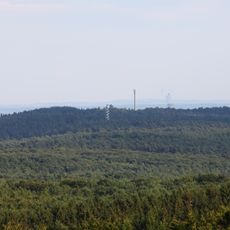
The area remained rural for centuries until coal mining arrived in the late 1800s and transformed it completely. The mines brought workers and factories, turning the place into an industrial hub in the Ruhr region.
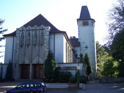
The town maintains a connection to its working-class roots visible in how buildings are used and streets are organized. People here value practical skills and community cooperation in everyday life.
As a medium-sized town, it has shops and services spread across the center and neighborhoods for everyday needs. The location offers good transportation links to nearby cities in the Ruhr region.
The experimental composer Moondog chose to live here and left traces of his creative work in the area. His time here made the place an unexpected connection point for avant-garde music in the region.
Location: Recklinghausen
Elevation above the sea: 72 m
Website: https://oer-erkenschwick.de
GPS coordinates: 51.64222,7.25083
Latest update: December 14, 2025 18:32
Stim-Berg
2.6 kmZeche Ewald Fortsetzung
897 m
Schloss Horneburg
3.3 kmRenn-Berg
6.8 kmFarnberg (Haard)
3.4 km
St. Josef (Oer-Erkenschwick)
717 m
Christus-König-Kirche
783 m
Heiliger Johannes Nepomuk
3.5 km
Schlosskapelle Horneburg
3.3 kmSilvertbach
3.1 kmGernebachtal
5.5 km
Brinksknapp
5.8 km
Schwarzer Berg
6 kmKollental
6.3 kmLSG-Gebiet im Bereich Dillenburg, Oer-Erkenschwick
3.2 kmLSG-Gebiet oestlich des Gewerbe- und Industriekomplexes Oer-Erkenschwick - Rapen
3.1 kmLSG-Oer-Erkenschwick <temporaer>
2.2 kmDumm-Berg
5.3 kmLSG-Gebiet im Bereich Dillenburg, Oer-Erkenschwick,bestehend aus zwei voneinander getrennten Teilen
2.6 kmLSG-Gebiet suedlich der Krankenanstalt oestlich und westlich der B 51
6 kmLSG-Silvertbach
3 kmStimberghöhe
2.7 km
Schwarzer Berg
6 kmKüs-Berg
2.7 kmLSG-Gebiet noerdlich Sinsen
5.4 kmLSG-Essel/Westerbach
2.1 kmLSG-Gebiet noerdlich und suedlich der L 798 in Oer-Erkenschwick und Marl
3.4 kmJaust-Bruchwald
4.6 kmVisited this place? Tap the stars to rate it and share your experience / photos with the community! Try now! You can cancel it anytime.
Discover hidden gems everywhere you go!
From secret cafés to breathtaking viewpoints, skip the crowded tourist spots and find places that match your style. Our app makes it easy with voice search, smart filtering, route optimization, and insider tips from travelers worldwide. Download now for the complete mobile experience.
A unique approach to discovering new places❞
— Le Figaro
All the places worth exploring❞
— France Info
A tailor-made excursion in just a few clicks❞
— 20 Minutes