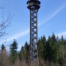
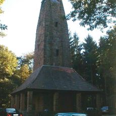
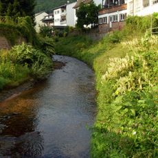
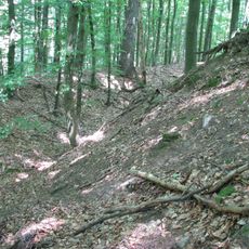
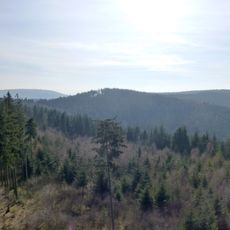
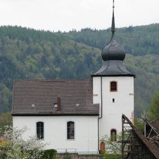
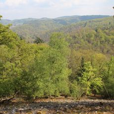
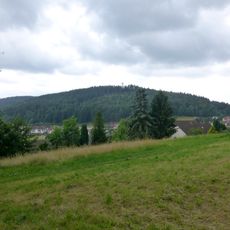
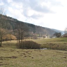
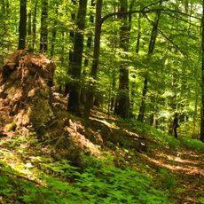
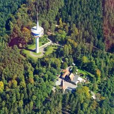
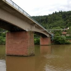
Wilhelmsfeld, municipality in the Rhein-Neckar-Kreis of Baden-Württemberg in Germany
Location: Rhein-Neckar
Location: Schönau GVV
Inception: 1710
Elevation above the sea: 386 m
Shares border with: Schönau, Heiligkreuzsteinach
Website: https://wilhelmsfeld.de
GPS coordinates: 49.47167,8.75556
Latest update: March 2, 2025 23:11
Teltschik Tower
678 m
Weißer Stein
3.1 km
Schönau Abbey
5.6 km
Kronenburg
4.8 km
Eichelberg
3.2 km
Hoher Nistler
4.5 km
Burg Waldeck
3 km
Steinach
3.2 km
Harfenburg
5.2 km
Herz-Jesu-Kirche (Weinheim-Oberflockenbach)
4.8 km
St. Teresa
5.4 km
Dossenheimer Kopf
1.7 km
Peterskirche
5.4 km
Wendenkopf
3.1 km
Schriesheimer Kopf
652 m
Evangelische Stadtkirche Schönau
5.6 km
Odenwald
4.2 km
Eichelberg-Tower
3.2 km
St. Peter
3.3 km
José Rizal historical marker
283 m
Fernmeldeturm Weißer Stein
3 km
Versöhnungskirche
5.3 km
St. Laurentius
6 km
Dossenheimer Klause
4.9 km
Waldecker Schloßwald
3.2 km
Zum Weißen Stein
3.1 km
Ziegelhäuser Brücke
6.2 km
Weißer-Stein-Tower
3.1 kmReviews
Visited this place? Tap the stars to rate it and share your experience / photos with the community! Try now! You can cancel it anytime.
Discover hidden gems everywhere you go!
From secret cafés to breathtaking viewpoints, skip the crowded tourist spots and find places that match your style. Our app makes it easy with voice search, smart filtering, route optimization, and insider tips from travelers worldwide. Download now for the complete mobile experience.
A unique approach to discovering new places❞
— Le Figaro
All the places worth exploring❞
— France Info
A tailor-made excursion in just a few clicks❞
— 20 Minutes