
Möglingen, municipality in Germany
Location: Ludwigsburg District
Elevation above the sea: 297 m
Shares border with: Markgröningen, Asperg, Schwieberdingen
Website: http://moeglingen.de
GPS coordinates: 48.88833,9.12917
Latest update: March 3, 2025 12:20
Stammheim Prison
4.2 km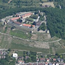
Hohenasperg
2.6 km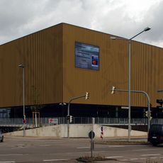
Arena Ludwigsburg
3.9 km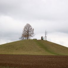
Kleinaspergle
1.4 km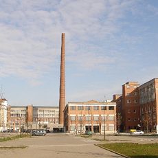
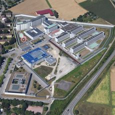
Salamander-Areal
4.7 km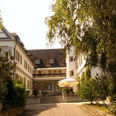
Schloss Stammheim
4.9 km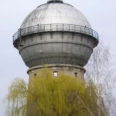
Wasserturm Kornwestheim
4.2 km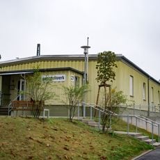
Lehrstellwerk
4.3 km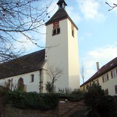
Johanneskirche
4.8 km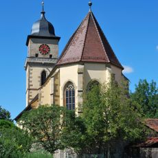
Georgskirche
4.1 km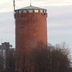
Wasserturm Ludwigsburg-Fürstenhügel
3.5 km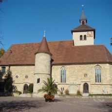
Michaelskirche
2.1 km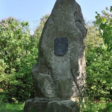
Kaiserstein (Münchingen)
3.4 km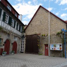
Altes Pfarrhaus
2.1 km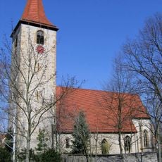
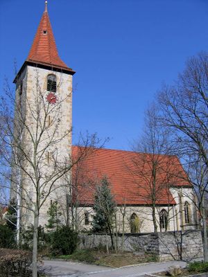
Pankratiuskirche
420 m
Solitudeallee 59
4 km
Old parsonage
4.1 km
Hohenasperg-Hurst und weitere Umgebung
2.6 km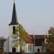
Emmauskirche
4.4 km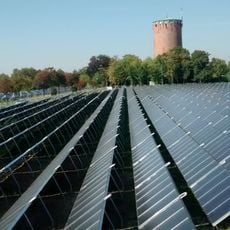
Solarthermie-Anlage Römerhügel (Ludwigsburg)
3.6 km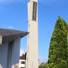
St. Maria (Möglingen)
365 m
Ulrichskirche
2.4 km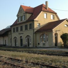
Markgröningen station
3.1 km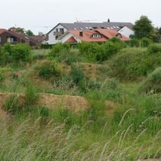
Lehmgrube am Stuttgarter Weg
3.2 km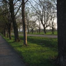
Lindenallee
4.4 km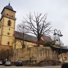
1 Stieleiche "Luthereiche"
4.1 km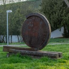
Kopf
4.6 km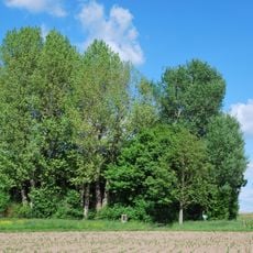
Baumgruppe "Ehem. Vöhinger Kirchle"
2.2 kmReviews
Visited this place? Tap the stars to rate it and share your experience / photos with the community! Try now! You can cancel it anytime.
Discover hidden gems everywhere you go!
From secret cafés to breathtaking viewpoints, skip the crowded tourist spots and find places that match your style. Our app makes it easy with voice search, smart filtering, route optimization, and insider tips from travelers worldwide. Download now for the complete mobile experience.

A unique approach to discovering new places❞
— Le Figaro
All the places worth exploring❞
— France Info
A tailor-made excursion in just a few clicks❞
— 20 Minutes