Lebus, town in Germany
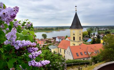
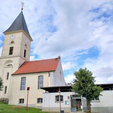
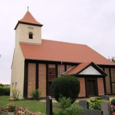
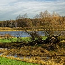
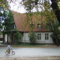
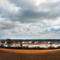
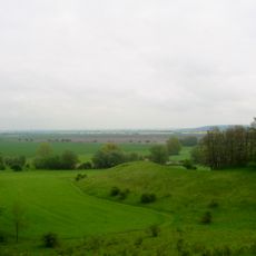
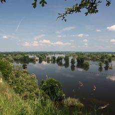
Lebus is a small town on the Oder River in Germany, located on a hill and in a river plain. The town has old buildings, quiet streets, and green spaces from which you can look out onto the river and the surrounding landscape.
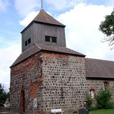
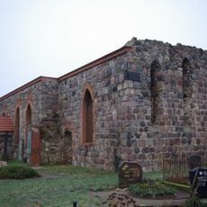
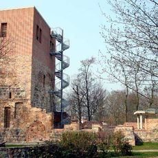
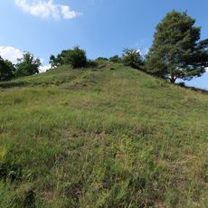
Lebus was founded more than 3000 years ago and lay on important trade routes from Flanders to Poland and Ukraine. In the 10th century, a castle was built on the hill as an administrative center under Polish rulers, and in 1226 the town received market and town rights.
The name Lebus comes from the Oder River and the surrounding lands. The town developed on a hill and in the river plain where people have lived and worked for centuries. Today you see traces of this long settlement everywhere in the streets and buildings, showing how residents have always been connected to the landscape and the water.
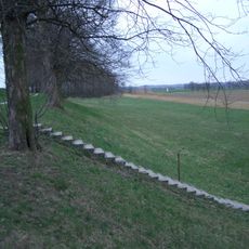
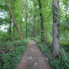
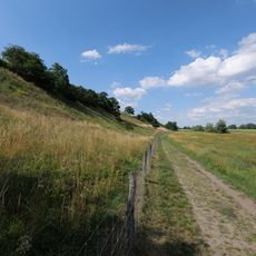
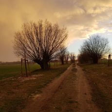
The town is easy to explore on foot and has marked walking and cycling routes along the Oder and through the countryside. The European Oder-Neisse cycle path runs near the town and allows visitors to explore the region by bike.
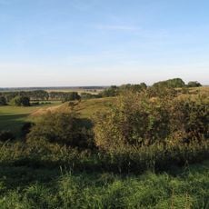
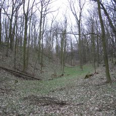
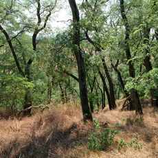
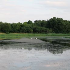
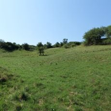
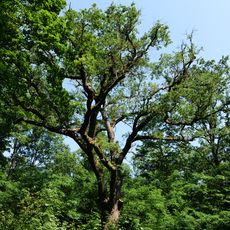
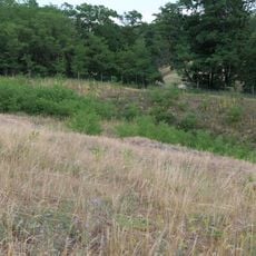
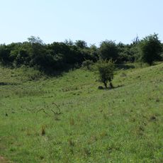
In spring, rare Adonis flowers bloom in bright colors on the slopes by the river and attract nature lovers from the region. The Oderberge nature reserve is about 13 hectares in size and is home to plant species that grow in only a few places in Europe.
The community of curious travelers
AroundUs brings together thousands of curated places, local tips, and hidden gems, enriched daily by 60,000 contributors worldwide.