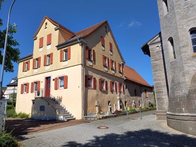
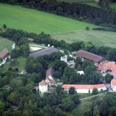
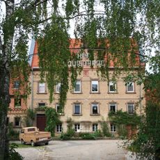
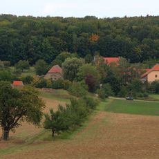
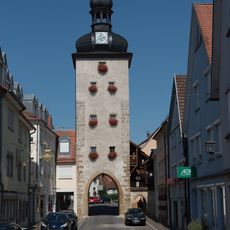
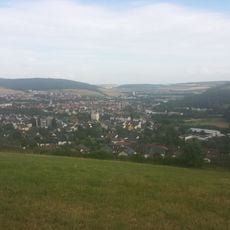
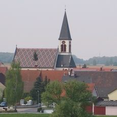
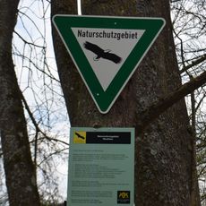
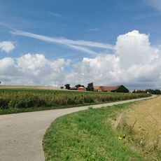
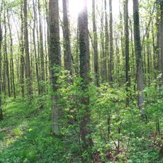
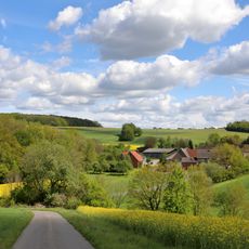
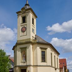
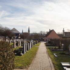
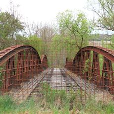
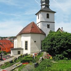
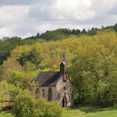
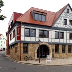
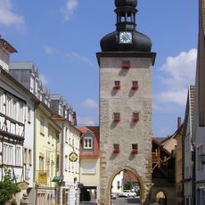
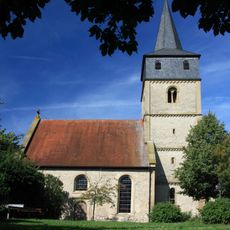
Igersheim, municipality in Germany
Location: Main-Tauber-Kreis
Location: Bad Mergentheim VVG
Elevation above the sea: 212 m
Shares border with: Weikersheim, Bad Mergentheim, Lauda-Königshofen, Bütthard, Riedenheim, Wittighausen
Website: http://igersheim.de
GPS coordinates: 49.49306,9.81667
Latest update: March 7, 2025 09:58
Burg Neuhaus
770 m
Club W71
5.9 km
Prämonstratenserinnenkloster Lochgarten
7.3 km
Jagdschloss Louisgarde
7.4 km
Prämonstratenserinnenkloster Schäftersheim
6.1 km
Sternwarte Weikersheim
7.5 km
Bahnhof Igersheim
297 m
Altenberg
1.6 km
Hof Louisgarde
7.4 km
City fortifications of Weikersheim
6.1 km
Igersheim
1.3 km
St. Franziskus
9.5 km
Neuhaus
1 km
Hof Marstadt
8.1 km
Lindach
10 km
Golf Club Bad Mergentheim
1.7 km
St. Aegidius
5 km
Neubronn
6.2 km
Staatsdomäne Neuhaus
757 m
Pfarrkirche
8.1 km
Friedhof Weikersheim
6.1 km
Eisenbahnbrücke Schäftersheim
6.2 km
Friedhof Harthausen
5 km
Kapelle Maria Heimsuchung
6.2 km
Rathaus
62 m
Gänsturm
6.1 km
Evangelische Kirche
6.4 km
St. Nikolaus
6 kmReviews
Visited this place? Tap the stars to rate it and share your experience / photos with the community! Try now! You can cancel it anytime.
Discover hidden gems everywhere you go!
From secret cafés to breathtaking viewpoints, skip the crowded tourist spots and find places that match your style. Our app makes it easy with voice search, smart filtering, route optimization, and insider tips from travelers worldwide. Download now for the complete mobile experience.
A unique approach to discovering new places❞
— Le Figaro
All the places worth exploring❞
— France Info
A tailor-made excursion in just a few clicks❞
— 20 Minutes