
Auma-Weidatal, town in the district of Greiz, in Thuringia, Germany
Location: Greiz
Inception: December 1, 2011
Elevation above the sea: 394 m
Shares border with: Triptis, Harth-Pöllnitz, Weida
Website: https://rathaus-auma.de
GPS coordinates: 50.70000,11.90000
Latest update: March 11, 2025 13:13

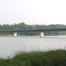
Talsperre Zeulenroda
5.8 km
Badewelt Waikiki
7.6 km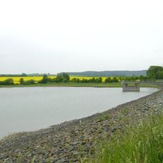
Talsperre Triptis
3.8 km
Liebfrauenkirche
132 m
Church Braunsdorf
3.9 km
Protestant Church Döhlen
8.4 km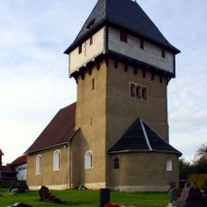
St. Nikolaus
9.1 km
Protestant Church (Zadelsdorf)
4.8 km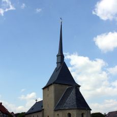
Dorfkirche Wöhlsdorf
4.2 km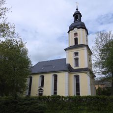
Church Muntscha
2.6 km
Protestant Church (Stelzendorf)
5 km
Protestant Church (Merkendorf)
5.1 km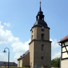
Dorfkirche Staitz
8.5 km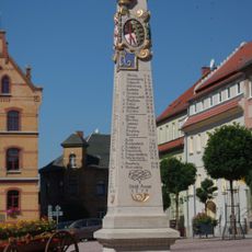
Polish-Saxon Post Milestone in Auma
66 m
Church Gütterlitz
2.1 km
Protestant Church (Wenigenauma)
3 km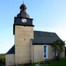
Kirche Forstwolfersdorf
6.4 km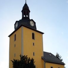
Protestant Church (Krölpa)
3.3 km
Protestant Church (Uhlersdorf)
5 km
St. Marien (Wetzdorf)
6 km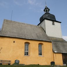
Protestant Church (Piesigitz)
5 km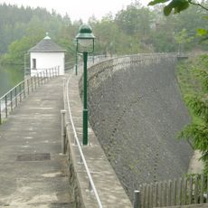
Weidatalsperre
6.3 km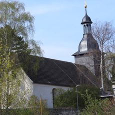
St. Ulrich (Triptis)
4.3 km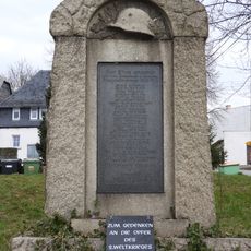
War memorial Dörtendorf
8.3 km
Protestant Church Zickra
4.2 km
War memorial Staitz
6.9 km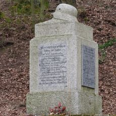
War memorial Göhren
8.4 km
War memorial Wiebelsdorf
4 kmVisited this place? Tap the stars to rate it and share your experience / photos with the community! Try now! You can cancel it anytime.
Discover hidden gems everywhere you go!
From secret cafés to breathtaking viewpoints, skip the crowded tourist spots and find places that match your style. Our app makes it easy with voice search, smart filtering, route optimization, and insider tips from travelers worldwide. Download now for the complete mobile experience.

A unique approach to discovering new places❞
— Le Figaro
All the places worth exploring❞
— France Info
A tailor-made excursion in just a few clicks❞
— 20 Minutes