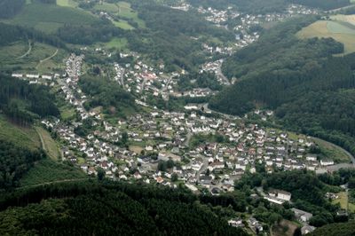
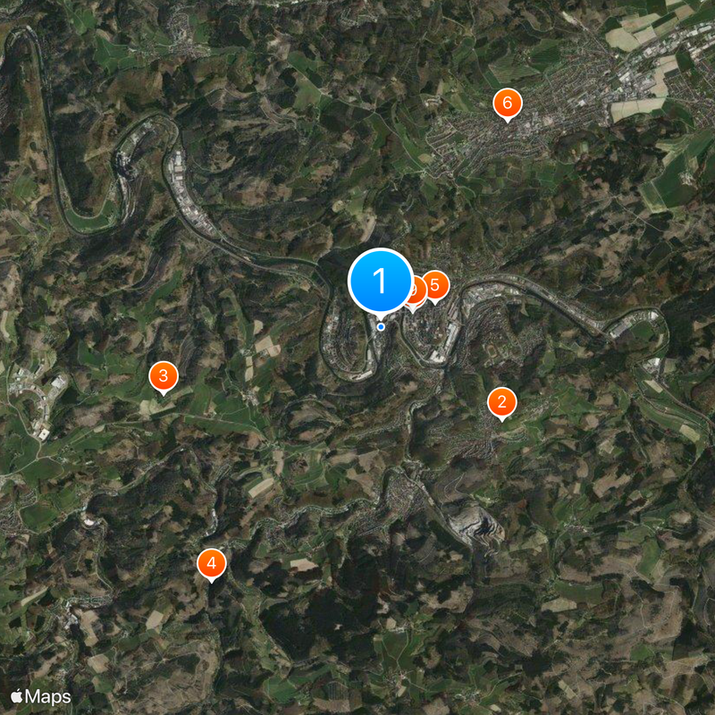
Werdohl, Industrial municipality in Märkischer Kreis, Germany
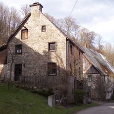
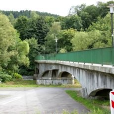
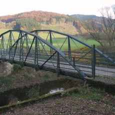
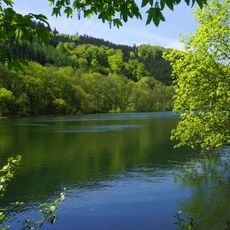
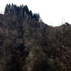
Werdohl is a town situated at a double bend of the Lenne River and its tributary Verse, surrounded by hills with elevations ranging from 162 to 448 meters. The settlement developed within this valley landscape, shaped by the water courses and forested terrain around it.
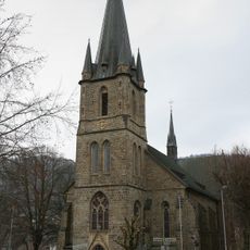
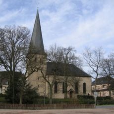
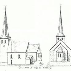
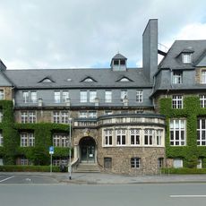
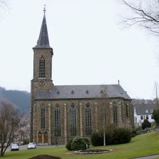
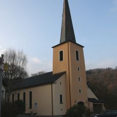
First documented in 1101 when Bishop Heinrich II of Paderborn mentioned a local church, the settlement existed for centuries before gaining city status. This designation came in 1936, after industrial development had already transformed the place.
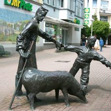
The coat of arms features a rose and three chain links, honoring the historical Neuhoff family and the counts of the Mark. These symbols remain visible throughout the town and reflect its heritage.
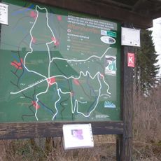
The town is easily accessible by car or train and serves as a good base for exploring the surrounding hills and river valleys. Visitors should allow time to walk through the industrial areas and nearby nature trails.
Twin town partnerships with Derwentside in England dating to 1975 and Stavenhagen in Mecklenburg-Western Pomerania since 1990 connect this place to communities across borders. These relationships reflect how industrial towns formed networks with peers elsewhere.
The community of curious travelers
AroundUs brings together thousands of curated places, local tips, and hidden gems, enriched daily by 60,000 contributors worldwide.