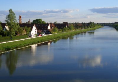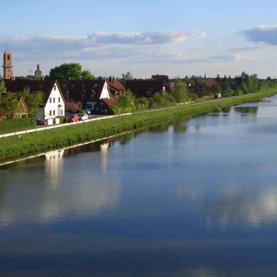
Möhrendorf, municipality of Germany
The community of curious travelers
AroundUs brings together thousands of curated places, local tips, and hidden gems, enriched daily by 60,000 contributors worldwide.
Kleinseebacher Mühle
1.1 km
BLOCKHELDEN climbing gym Frankenjura
1.2 km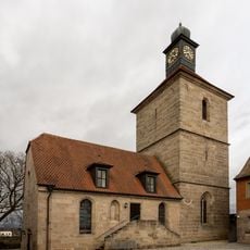
St. Oswald und Martin
38 m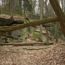
Ehem. Sandsteinbrüche am Hinteren Giesberg E von Dechsendorf
3.1 km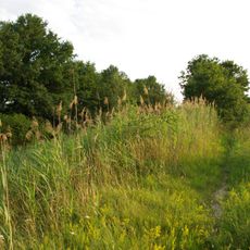
Erdbauten des Ludwig-Donau-Main-Kanals #26
1.9 km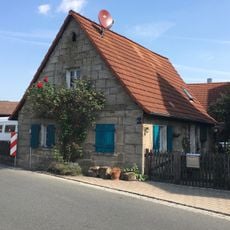
Kleinbauernhaus
1.4 km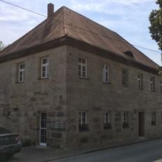
Ehemaliges Verwalterhaus
880 m
Marter
346 m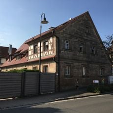
Ehemaliges Forsthaus
47 m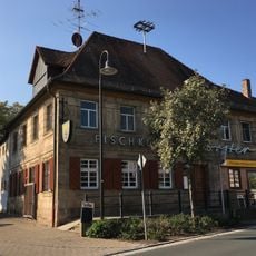
Tafernwirtschaft
28 m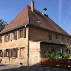
Gasthaus zum Grünen Baum
1.4 km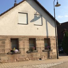
Bauernhof
50 m
Kleinbauernhaus
26 m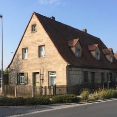
Eingeschossiger Wohnstallbau
121 m
Friedhof
82 m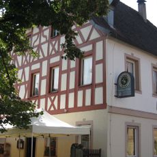
Gasthaus Schuh
1.4 km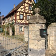
Pfarrhaus
195 m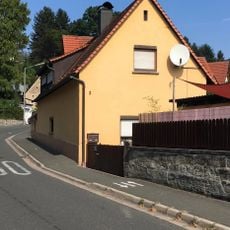
Kleinbauernhaus
1.3 km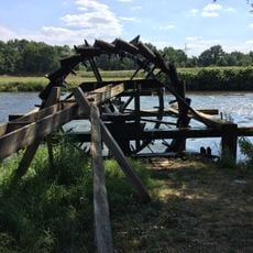
Wasserschöpfräder an der Regnitz
803 m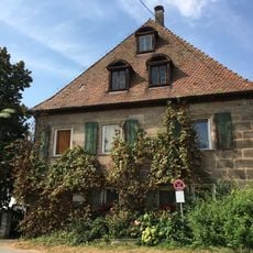
Ehemaliger Herrensitz
858 m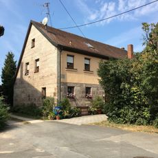
Bauernhof
840 m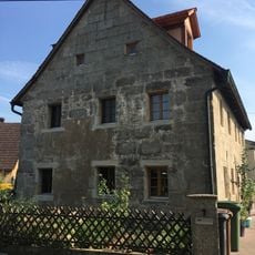
Sandsteinquaderbau
1.2 km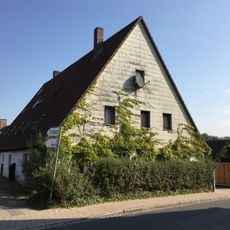
Wohnstallhaus
100 m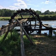
Altes Schäferrad
1.6 km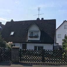
Kleinbauernhaus
1.2 km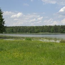
Markwald bei Baiersdorf
1.7 km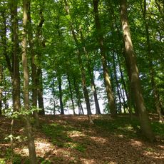
Hirschkäfervorkommen bei Kleinseebach
1.2 km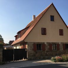
Sandsteinquaderbau
29 mDiscover hidden gems everywhere you go!
From secret cafés to breathtaking viewpoints, skip the crowded tourist spots and find places that match your style. Our app makes it easy with voice search, smart filtering, route optimization, and insider tips from travelers worldwide. Download now for the complete mobile experience.

A unique approach to discovering new places❞
— Le Figaro
All the places worth exploring❞
— France Info
A tailor-made excursion in just a few clicks❞
— 20 Minutes
