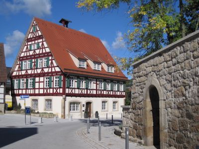
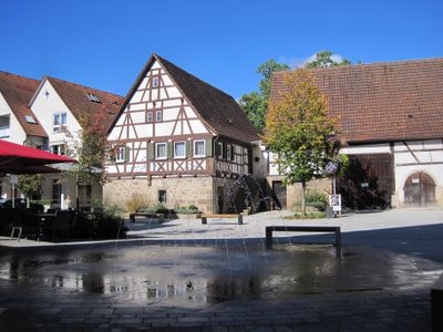
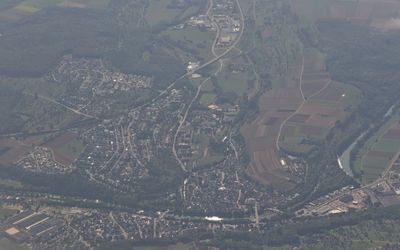
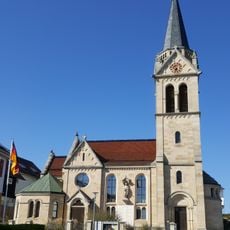
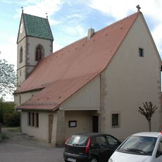
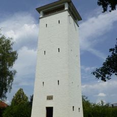
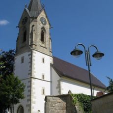
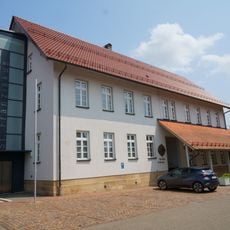
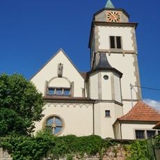
Neckartenzlingen, Rural municipality in Esslingen district, Baden-Württemberg, Germany.
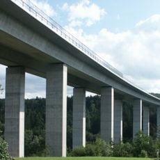
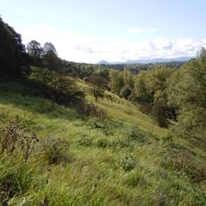
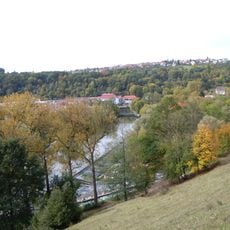
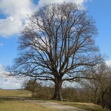
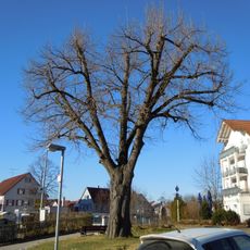
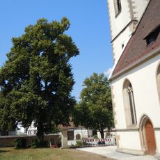
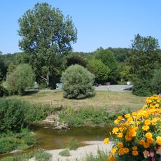
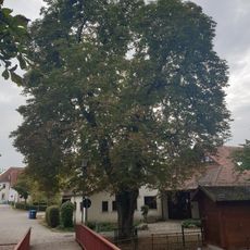
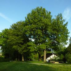
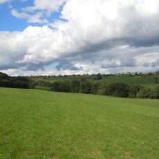
Neckartenzlingen covers 9.03 square kilometers at 292 meters elevation, housing approximately 6,483 residents in a typical southern German rural setting with agricultural fields and rolling green hills surrounding the community.
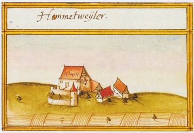
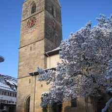
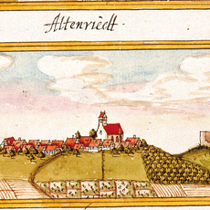
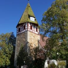
This municipality evolved over centuries from medieval rural settlements, influenced by regional trade routes and agricultural economies that sustained its inhabitants through various historical periods of development.
The community preserves Baden-Württemberg traditions through annual festivals featuring regional music, dance, and cuisine, particularly the Dorffest village festival that brings together residents and visitors for social interaction.
Accessible via postal code 72654 and dialing code 07127, the municipality is led by Mayor Melanie Gollert and located approximately 25 kilometers south of Stuttgart with good transportation connections.
Neckartenzlingen maintains twin town relationships with Komló in Hungary, fostering cultural exchange and strengthening international ties based on shared community interests and historical connections between the municipalities.
Location: Esslingen
Location: Neckartenzlingen GVV
Elevation above the sea: 292 m
Address: 72 Neckartenzlingen, Germany 72654 Neckartenzlingen 72654 Neckartenzlingen
Website: https://neckartenzlingen.de
GPS coordinates: 48.58917,9.24611
Latest update: July 13, 2025 19:51
Aichtalbrücke
3.8 km
Martinskirche (Neckartailfingen)
2.9 km
Burg Neuenriet
1.4 km
Schönrain
1 km
Evangelische Kirche Häslach
4 km
Pfarrkirche Walddorf
4.6 km
Wasserturm Häslach
4 km
Sankt Wendelin
2.4 km
LSG 'Neckar-, Erms- und Autmuttal im Verwaltungsraum Neckartenzlingen' (4 Teilgebiete) vom 08.08.1980 geändert am 03.09.1984 und 10.04.1086
1.2 km
Zwei-Eichen-Turm
4.6 km
Neuapostolische Kirche
4.2 km
FKK-Strand
1.7 km
Martinskirche
4.5 km
St. Franziskus
4.4 km
Martinskirche Mittelstadt
3.1 km
Friedenskirche
4.2 km
1 Linde (Lutherlinde)
3.2 km
Linde bei der Ermsbrücke
3.6 km
Stubensandsteinbruch mit Tümpel
3.8 km
Linde bei der Ev. Kirche
649 m
2 Weiden
3.2 km
Kastanie zwischen Gebäude Auf der Raise 8 und 10
3.5 km
Baumgruppe im Gewann Holderäcker
2.1 km
Linde bei der Kirche
3.8 km
Stubensandsteinbruch mit Wasserfläche
3.6 km
2 Eichen beim Zweieichenturm
4.5 km
Höllbach mit Ufergehölz
2.3 km
Neckarinseln bei Neckartenzlingen
1.1 kmReviews
Visited this place? Tap the stars to rate it and share your experience / photos with the community! Try now! You can cancel it anytime.
Discover hidden gems everywhere you go!
From secret cafés to breathtaking viewpoints, skip the crowded tourist spots and find places that match your style. Our app makes it easy with voice search, smart filtering, route optimization, and insider tips from travelers worldwide. Download now for the complete mobile experience.
A unique approach to discovering new places❞
— Le Figaro
All the places worth exploring❞
— France Info
A tailor-made excursion in just a few clicks❞
— 20 Minutes