St. Georgen im Schwarzwald
St. Georgen im Schwarzwald, Urban municipality in Schwarzwald-Baar district, Germany
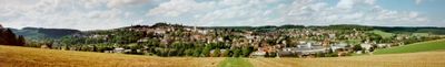
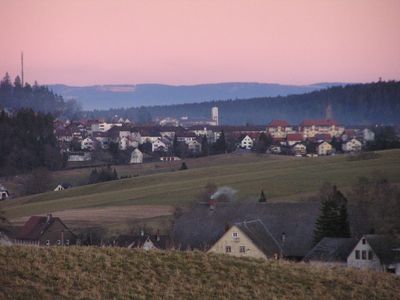
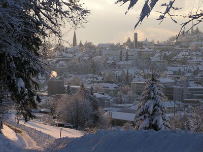
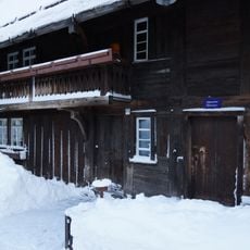
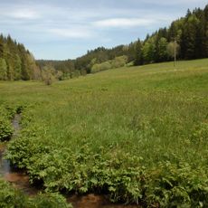
St. Georgen im Schwarzwald is a municipality in the Schwarzwald-Baar district, situated across rolling terrain in the Black Forest mountains of Baden-Württemberg. The town sits at approximately 862 meters elevation and displays the typical character of the region with forests, meadows, and local architecture.
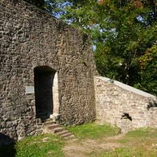
The municipality developed as a rural settlement in the Black Forest region over centuries and became a local center of its surroundings. Its structure and significance are closely connected to the region's broader history and economic development.
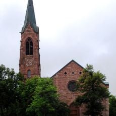
The town is named after Saint George, reflecting the religious tradition of the Black Forest region. Local residents shape community life through their diverse backgrounds and customs rooted in the area.
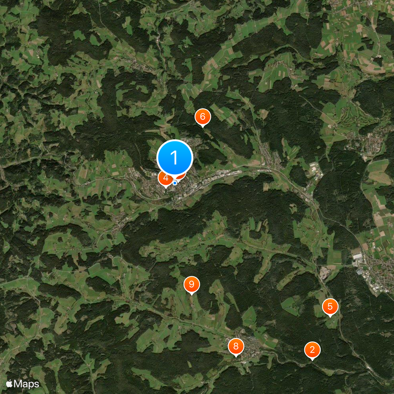
The town is accessible by local roads and offers basic services for visitors and residents. Exploration on foot or by car is possible, though the elevation and hilly terrain should be considered when planning your visit.
The town maintains international partnerships with Saint-Raphaël and Vesilahti, connecting residents and visitors to different parts of Europe. These connections create opportunities to understand how communities across the continent relate to one another.
Location: Schwarzwald-Baar district
Elevation above the sea: 862 m
Shares border with: Villingen-Schwenningen, Mönchweiler, Königsfeld im Schwarzwald
Website: https://st-georgen.de
GPS coordinates: 48.12576,8.33302
Latest update: December 20, 2025 13:07
Berlin has many stories beyond its famous attractions. This collection shows places where the city's complex history comes alive through creative reuse and unexpected discoveries. The old Tempelhof Airport is now a sprawling public park where people jog and cycle on former runways. Teufelsberg rises...
Ruine Kirneck
7.2 kmGerman Phono Museum
64 m
Lorenzkirche
315 mGroppertal
6.6 kmHarzloch
2.1 km
Heimatmuseum Schwarzes Tor
125 mBurg Unterkirnach
5.9 kmKobisenmühle
3.6 kmSchlegelberg
6.2 kmLangbauerkirschen (Baumallee, 13 Wildkirschen)
4.4 km
Glasbachtal
5.8 kmHochwälder Höhe
3 kmAußerdorflinden (3 Bäume)
5.2 kmKlosterweiher-Aue
767 mSchillertanne - 1 Abies
1.6 kmStolbert-Eschen (2 Bäume)
5.6 kmBrigachaue-Lochwäldle
4.6 kmFöhrenbächle-Talwiese
3.1 kmFlaigenlinde
7.1 kmGroße Tanne - 1 Picea
2 kmBurgbacher Esche
4.2 kmBurgbacher Eiche
4.2 kmBrogenlinde
3.1 kmBäschenbühleiche
6 kmLangbauer-Esche
4.4 kmIm Dörfle (Baumgruppe,Ahorne,Linden,Esche)
5.1 kmFriedhofslinde - 1 Linde
5.2 kmSchorentanne / Brogentanne - 1 Weißtanne
4.6 kmVisited this place? Tap the stars to rate it and share your experience / photos with the community! Try now! You can cancel it anytime.
Discover hidden gems everywhere you go!
From secret cafés to breathtaking viewpoints, skip the crowded tourist spots and find places that match your style. Our app makes it easy with voice search, smart filtering, route optimization, and insider tips from travelers worldwide. Download now for the complete mobile experience.
A unique approach to discovering new places❞
— Le Figaro
All the places worth exploring❞
— France Info
A tailor-made excursion in just a few clicks❞
— 20 Minutes