
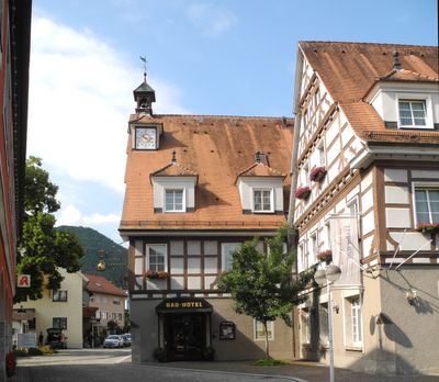
Bad Überkingen, municipality in Germany
Location: Göppingen
Location: Geislingen an der Steige VVG
Elevation above the sea: 455 m
Part of: Geislingen an der Steige VVG
Website: http://bad-ueberkingen.de
GPS coordinates: 48.60028,9.79889
Latest update: March 10, 2025 00:14
Helfenstein Castle
4 km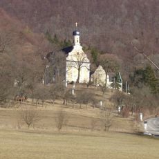
Ave Maria
4.5 km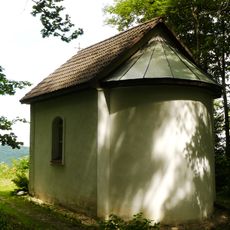
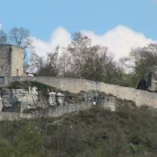
Burgruine Berneck mit Buschelkapelle
5.1 km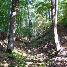
Burg Spitzenberg
4.1 km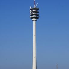
Aufi Tower
4 km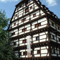
Alter Bau
3.6 km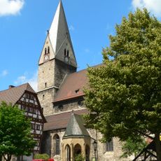
Stadtkirche Geislingen an der Steige
3.6 km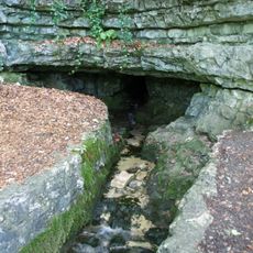
Brunnensteighöhle
2.4 km
Burg Türkheim
1.4 km
Haarberg - Wasserberg
5.7 km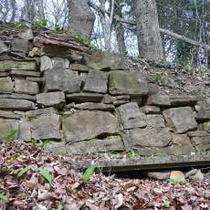
Burg Oberrommental
7.9 km
Autal
2.3 km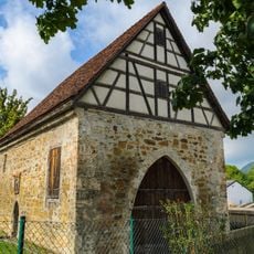
Siechenkapelle
3.5 km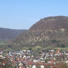
Galgenberg
7.4 km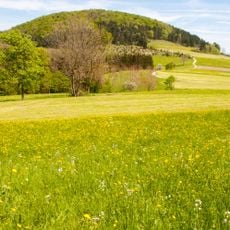
Filsalb
6 km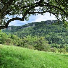
Hausener Wand
1.4 km
Nordalbhänge: Ottenwang-Ungerhalde-Sommerberg
6.6 km
Haarberg
5.6 km
Wasserberg (2 Teilgebiete)
7.3 km
Buschelkapelle
5.1 km
Hausener Wand
2 km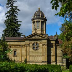
Friedhofskapelle Geislingen an der Steige
3.3 km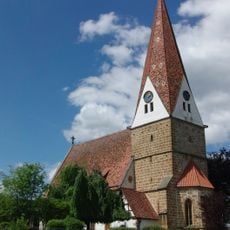
Johanneskirche
6.7 km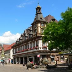
Altes Rathaus
3.6 km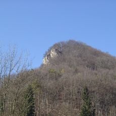
Geiselsteinfelsen
2.9 km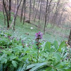
Pflanzenstandort Wurmhalde
2.8 km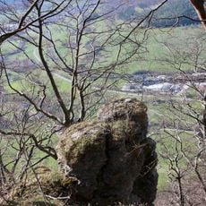
Felsen an der Wurmhalde
2.6 km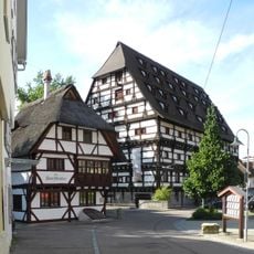
Kornschreiberhaus
3.6 kmVisited this place? Tap the stars to rate it and share your experience / photos with the community! Try now! You can cancel it anytime.
Discover hidden gems everywhere you go!
From secret cafés to breathtaking viewpoints, skip the crowded tourist spots and find places that match your style. Our app makes it easy with voice search, smart filtering, route optimization, and insider tips from travelers worldwide. Download now for the complete mobile experience.

A unique approach to discovering new places❞
— Le Figaro
All the places worth exploring❞
— France Info
A tailor-made excursion in just a few clicks❞
— 20 Minutes