Schrozberg, municipality in Germany
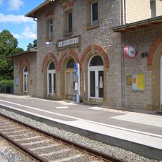
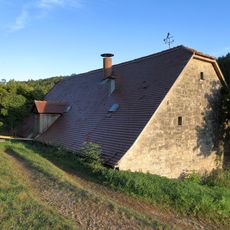
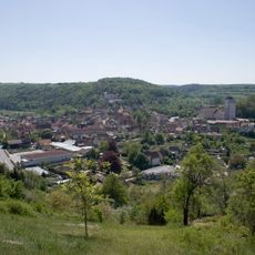
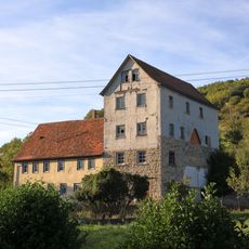
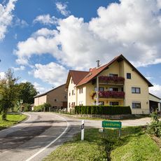
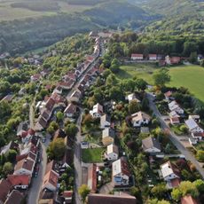
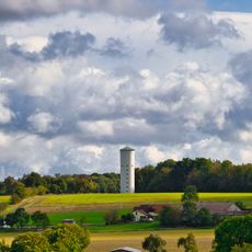
Schrozberg is a small town in Landkreis Schwäbisch Hall with traditional stone buildings and quiet streets that tell a long history. The municipality covers approximately 105 square kilometers and is home to around six thousand residents who share strong neighborhood connections.
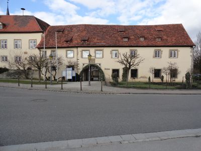
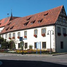
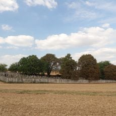
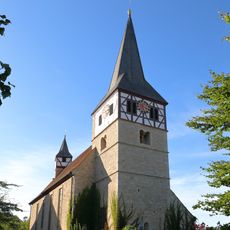
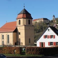
Schrozberg grew around a medieval castle from the 12th century that served as the seat of the Lords of Schrozberg and was destroyed in 1441 during a conflict with Rothenburg. New buildings such as Bartenstein Castle were constructed in the early 1500s and still stand today, housing the Hohenlohe-Bartenstein family.
The town's name comes from the medieval ruling family whose legacy remains visible in its buildings and layout. Residents maintain their traditions through regular community gatherings, markets, and festivals where neighbors meet and share stories.
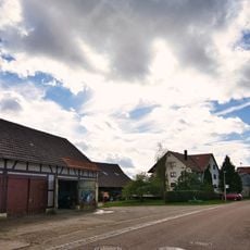
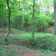
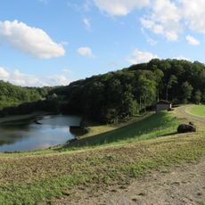
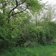
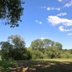
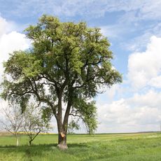
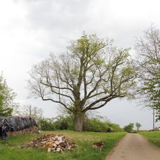
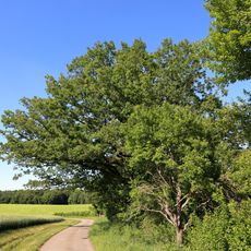
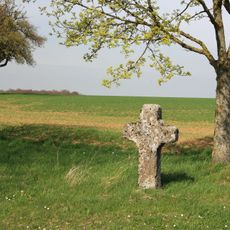
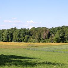
The town's quiet streets are easy to explore on foot, and paved paths lead out into the surrounding countryside with fields and forests. Visitors should be prepared for the slow pace of the place, where most activities happen during the day and evenings remain peaceful.
In the 19th and early 20th centuries, Schrozberg produced notable figures including Paul Wolf, a city planner who worked in major cities like Hannover and Dresden. Such local stories show how this small town produced people who had influence across the region.
The community of curious travelers
AroundUs brings together thousands of curated places, local tips, and hidden gems, enriched daily by 60,000 contributors worldwide.