
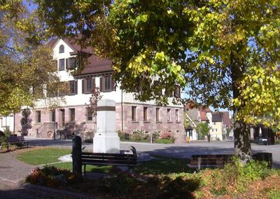
Dornhan, municipality in Germany
Location: Rottweil
Elevation above the sea: 642 m
Shares border with: Sulz am Neckar, Oberndorf am Neckar, Alpirsbach, Loßburg, Glatten, Schopfloch
Website: https://dornhan.de
GPS coordinates: 48.34944,8.51222
Latest update: March 7, 2025 00:17
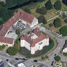
Wasserschloss Glatt
9.3 km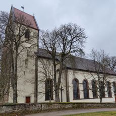
St. Otmar
4.4 km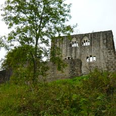
Ruine Albeck
7.7 km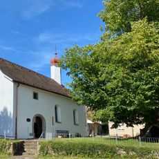
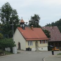
Agathakapelle
4.2 kmSchloss Leinstetten
5.2 km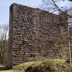
Burg Lichtenfels
4.3 km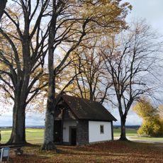
Antoniuskapelle
4.2 km
Burg Leinstetten
5.2 km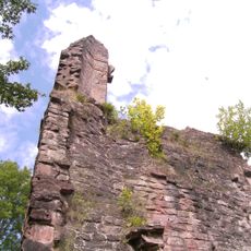
Ruine Sterneck
4.5 km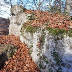
Burg Bogeneck
6.7 km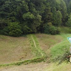
Naturschutzgebiet Dießener Tal und Seitentäler
8.5 km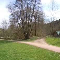
Heimbachaue
3.2 km
Albeck
7.7 km
Fischbachtal
8.5 km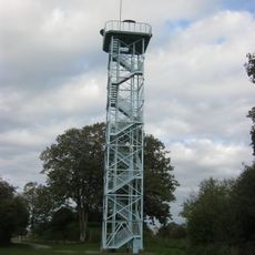
Aussichtsturm Mettstetten
6.1 km
Wiesen und Heiden an Glatt und Mühlbach
7.9 km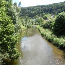
Glatt-Tal
4.7 km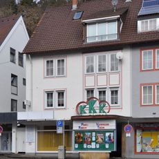
KKK-Filmtheater
7.8 km
Dießener Tal und Seitentäler (Landkreis Rottweil)
8.5 km
Ruine Albeck und Umgebung (Flurstück 5774)
7.7 km
Kalksinter- Quellflur
8.1 km
Schwarzwiese
6.6 km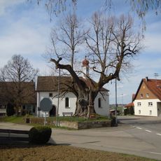
Dorflinde (Käppelesl-Linde)
4.2 km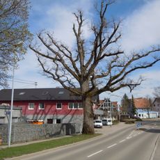
Napoleon-Eiche
350 m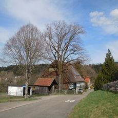
1 Sommerlinde
2.8 km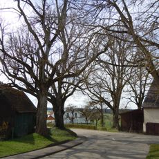
Lindengruppe
4.2 km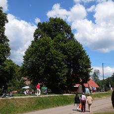
1 Linde
9.5 km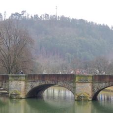
Neckarbrücke Sulz
9.1 kmVisited this place? Tap the stars to rate it and share your experience / photos with the community! Try now! You can cancel it anytime.
Discover hidden gems everywhere you go!
From secret cafés to breathtaking viewpoints, skip the crowded tourist spots and find places that match your style. Our app makes it easy with voice search, smart filtering, route optimization, and insider tips from travelers worldwide. Download now for the complete mobile experience.

A unique approach to discovering new places❞
— Le Figaro
All the places worth exploring❞
— France Info
A tailor-made excursion in just a few clicks❞
— 20 Minutes