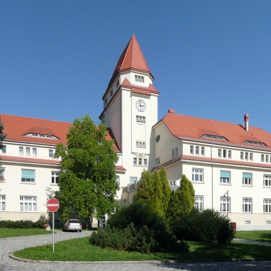
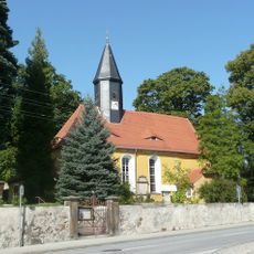
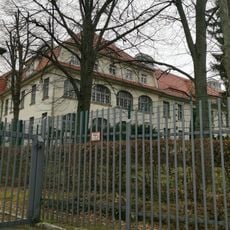
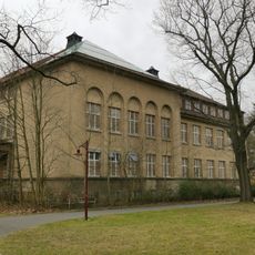
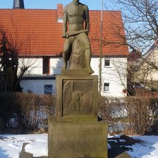
Arnsdorf

Log in to your account

AroundUs is a community-driven map of interesting places, built by curious explorers like you. It grows with every review, story, and photo you share.
Connect to save your favorite spots, contribute locations, and create personalized routes.
By continuing, you accept our Terms and Conditions and our Privacy Policy

Arnsdorf, municipality of Germany

Location: Bautzen District

Elevation above the sea: 290 m

Website: https://www.gemeindearnsdorf.de/

Shares border with: Radeberg, Großröhrsdorf

Website: https://gemeindearnsdorf.de

GPS coordinates: 51.10000,13.98330

Latest update: March 12, 2025 01:21

Around this place
Show the full map
Sächsisches Krankenhaus Arnsdorf
Germany

Sächsisches Krankenhaus Arnsdorf

1.2 km
Heinrichsthaler Milchwerke
Germany

Heinrichsthaler Milchwerke

4.1 km
Felixturm
Germany

Felixturm

3.3 km
Rossendorfer Teich
Germany

Rossendorfer Teich

5.3 km
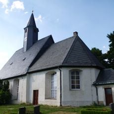
Dorfkirche Wallroda
Germany

Dorfkirche Wallroda

2.4 km
Löwenbrücke (Radeberg)
Germany

Löwenbrücke (Radeberg)

3.5 km
Hofeteich
Germany

Hofeteich

4.7 km
Schwedenstein
Germany

Schwedenstein

673 m
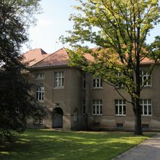
Gebäude B4: Klinikgebäude im Stil der Reformbaukunst (Einzeldenkmal zu ID-Nr. 09284584) Hufelandstraße 15
Germany

Gebäude B4: Klinikgebäude im Stil der Reformbaukunst (Einzeldenkmal zu ID-Nr. 09284584) Hufelandstraße 15

1.4 km
Kirche Kleinwolmsdorf
Germany

Kirche Kleinwolmsdorf

2.5 km
Kirche Seeligstadt
Germany

Kirche Seeligstadt

3.9 km
Massenei
Germany

Massenei

4.5 km
Hüttertal
Germany

Hüttertal

3.9 km
Wohnhaus Kleinwolmsdorfer Straße 5
Germany

Wohnhaus Kleinwolmsdorfer Straße 5

975 m
Mühlstraße 17
Germany

Mühlstraße 17

2.4 km
Sachgesamtheit Ehemalige Königlich Sächsische Pflegeanstalt Arnsdorf (heute Sächsisches Krankenhaus für Psychiatrie und Neurologie Arnsdorf) Hufelandstraße 15; Hufelandstraße 5, 7, 9, 13, 22 (Wohnhaus und Brunnen); bei Hufelandstraße 22 (Brunn
Germany

Sachgesamtheit Ehemalige Königlich Sächsische Pflegeanstalt Arnsdorf (heute Sächsisches Krankenhaus für Psychiatrie und Neurologie Arnsdorf) Hufelandstraße 15; Hufelandstraße 5, 7, 9, 13, 22 (Wohnhaus und Brunnen); bei Hufelandstraße 22 (Brunn

1.2 km
Kirche Fischbach
Germany

Kirche Fischbach

2.8 km
Mühlstraße 21
Germany

Mühlstraße 21

2.4 km
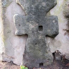
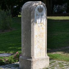
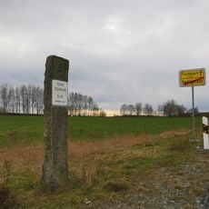
Kgl.-sächs. Postmeilenstein Arnsdorf
Germany

Kgl.-sächs. Postmeilenstein Arnsdorf

932 m
Gasthof „Schwarzes Roß“
Germany

Gasthof „Schwarzes Roß“

3.6 km
Stadtkrankenhaus Radeberg Dr. Paul Kirchner; Asklepios - ASB Klinik Radeberg; Villa (im Portal bezeichnet) ohne Anbau Pulsnitzer Straße 60
Germany

Stadtkrankenhaus Radeberg Dr. Paul Kirchner; Asklepios - ASB Klinik Radeberg; Villa (im Portal bezeichnet) ohne Anbau Pulsnitzer Straße 60

4.5 km
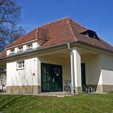
Three former wash houses 1-3 (individual monuments to ID no. 09284584) Hufelandstraße 15 (Stolpener Straße 18, Hufelandstraße/corner of Friedrich-Wolf-Straße, Stolpener Straße/near institutional cemetery)
Germany

Three former wash houses 1-3 (individual monuments to ID no. 09284584) Hufelandstraße 15 (Stolpener Straße 18, Hufelandstraße/corner of Friedrich-Wolf-Straße, Stolpener Straße/near institutional cemetery)

1.5 km
Anstaltskirche Arnsdorf
Germany

Anstaltskirche Arnsdorf

1.3 km
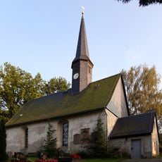
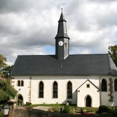
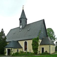
Dorfkirche Arnsdorf
Germany

Dorfkirche Arnsdorf

653 m
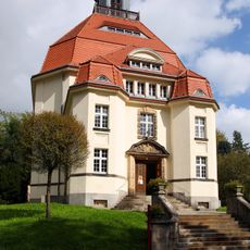
Building A5: Clinic building in the style of reform architecture (individual monument to ID no. 09284584) Hufelandstraße 15
Germany

Building A5: Clinic building in the style of reform architecture (individual monument to ID no. 09284584) Hufelandstraße 15

852 m
Building A7: Clinic building in the style of reform architecture (individual monument to ID No. 09284584) Hufelandstraße 15
Germany

Building A7: Clinic building in the style of reform architecture (individual monument to ID No. 09284584) Hufelandstraße 15

936 m
Wegstein Fischbacher Straße (Flurstück 593)
Germany

Wegstein Fischbacher Straße (Flurstück 593)

3.9 km
Denkmal für die Gefallenen des Ersten Weltkrieges, umgeben von steinern eingefasster Grünfläche Großerkmannsdorfer Straße (vor Kirchgemeindehaus)
Germany

Denkmal für die Gefallenen des Ersten Weltkrieges, umgeben von steinern eingefasster Grünfläche Großerkmannsdorfer Straße (vor Kirchgemeindehaus)

2.5 km
Show the full map

Reviews

Visited this place? Tap the stars to rate it and share your experience / photos with the community! Try now! You can cancel it anytime.

« Arnsdorf - municipality of Germany » is provided by Around Us (aroundus.com). Images and texts are derived from Wikimedia project under a Creative Commons license. You are allowed to copy, distribute, and modify copies of this page, under the conditions set by the license, as long as this note is clearly visible.

Discover hidden gems everywhere you go!

From secret cafés to breathtaking viewpoints, skip the crowded tourist spots and find places that match your style. Our app makes it easy with voice search, smart filtering, route optimization, and insider tips from travelers worldwide. Download now for the complete mobile experience.
Around Us App Screenshot

A unique approach to discovering new places

Le Figaro

All the places worth exploring

France Info

A tailor-made excursion in just a few clicks

20 Minutes