
Obergurig, municipality of Germany
Location: Bautzen District
Elevation above the sea: 240 m
Part of: Sorbian settlement area
Shares border with: Bautzen, Großpostwitz
Website: https://obergurig.de
GPS coordinates: 51.13333,14.40000
Latest update: March 25, 2025 12:34
Mönchswalder Berg
2.4 km
Doberschauer Schanze
1.6 km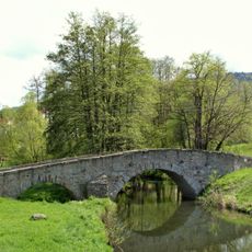
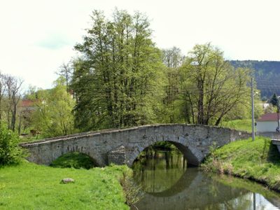
Bohemian Bridge
961 m
Gefallenendenkmal Obergurig
465 m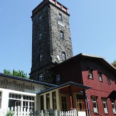
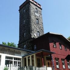
Mönchswalder Bergbaude
2.4 km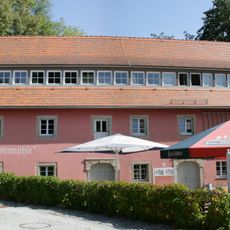
Alte Wassermühle
596 m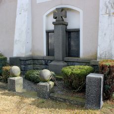
Gefallenendenkmal Singwitz
696 m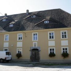
Pinkmühle
1.6 km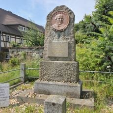
Kocorowy pomnik
2.7 km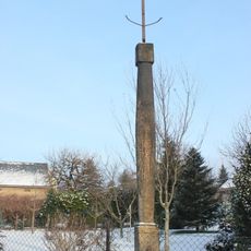
Betsäule Bautzener Straße 10
990 m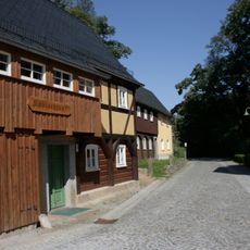
Wohnhaus (Umgebinde) und Scheune eines Zweiseithofes Schulstraße 15
565 m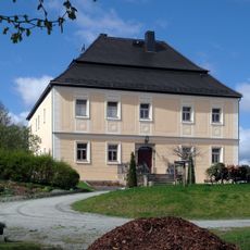
Herrenhaus Obergurig
366 m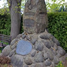
Gefallenendenkmal Mönchswalde
1.1 km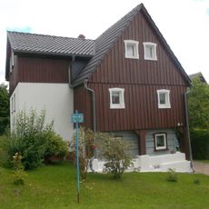
Irgersdorf 18
2.6 km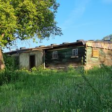
Wohnstallhaus (Umgebinde) Irgersdorf 12 (neben) (nördlich von Wohnhaus Nr. 12)
2.5 km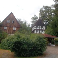
Irgersdorf 4
2.7 km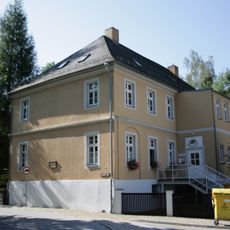
Fabrikantenvilla Schulstraße 19
481 m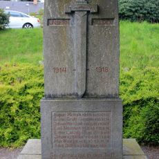
War memorial (WWI) in Berge 4
2.8 km
Wohnstallhaus Blumenthal 3
949 m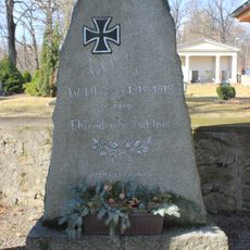
Denkmal für die Gefallenen des Ersten Weltkrieges in Doberschau
2.1 km
Wohnhaus mit Oberlaube Schulstraße 13
574 m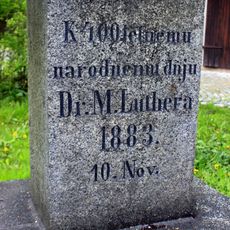
Lutherstein Spreeweg (Ecke Dorfstraße)
1.5 km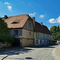
Scheune Schulstraße 4 and 4a
635 m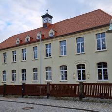
Schule mit nördlichem Anbau Schulstraße 6
639 m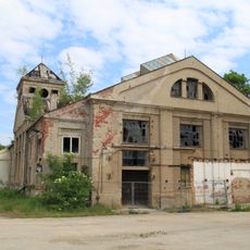
Ehemaliges Kesselhaus Industriestraße 4
1.2 km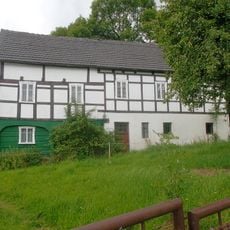
Wohnstallhaus (Umgebinde) Irgersdorf 12
2.5 km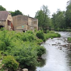
Westliches Wohnhaus, südliches Wohnmühlenhaus und nördliche Scheune eines Mühlengehöftes sowie zwei Toreinfahrtspfeiler Industriestraße 1
950 m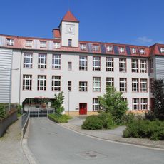
Raussendorf GmbH
466 mVisited this place? Tap the stars to rate it and share your experience / photos with the community! Try now! You can cancel it anytime.
Discover hidden gems everywhere you go!
From secret cafés to breathtaking viewpoints, skip the crowded tourist spots and find places that match your style. Our app makes it easy with voice search, smart filtering, route optimization, and insider tips from travelers worldwide. Download now for the complete mobile experience.

A unique approach to discovering new places❞
— Le Figaro
All the places worth exploring❞
— France Info
A tailor-made excursion in just a few clicks❞
— 20 Minutes