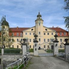
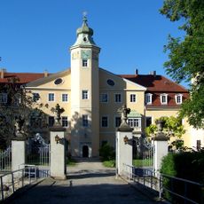
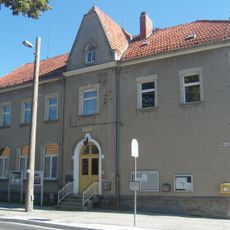
Ottendorf-Okrilla, Municipality in Bautzen District, Germany.
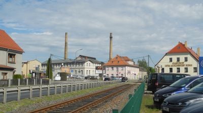
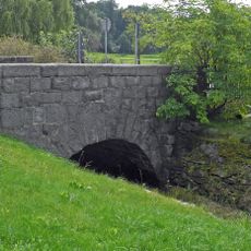
Ottendorf-Okrilla is a municipality in Saxony that extends across rural terrain and comprises several smaller settlements. The area features a mixed landscape typical of eastern German municipalities with scattered villages and open countryside.
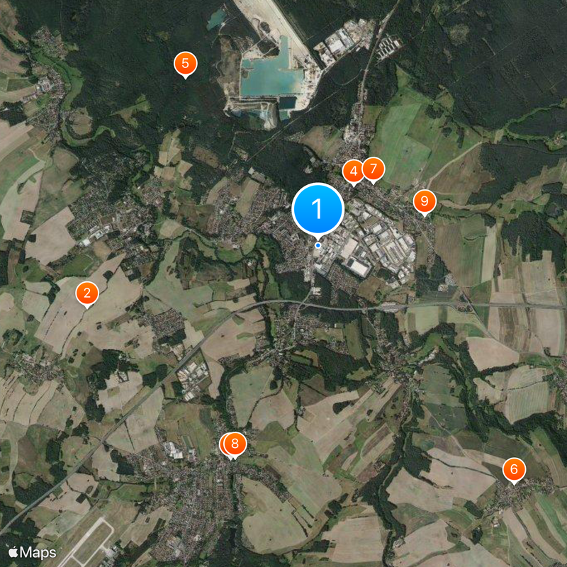
The present municipality formed in 1921 when five separate communities merged: Ottendorf, Moritzdorf, Großokrilla, Kleinokrilla, and Cunnersdorf. This administrative reorganization created the modern structure that survives today.
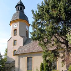
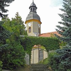
The four neighborhoods of Grünberg, Hermsdorf, Medingen, and Ottendorf-Okrilla each have their own distinct character and local traditions. Together, they shape how residents experience daily life across this rural area.
The area connects to major transport networks through two motorway exits on the A4 and four railway stations along the Dresden-Königsbrück line. These connections make it straightforward to reach the municipality and continue to surrounding regions.
A major postal facility operated by Deutsche Post processes mail and packages for the entire Dresden region from this location. This significant employer shapes the local economy and employs many residents from surrounding communities.
The community of curious travelers
AroundUs brings together thousands of curated places, local tips, and hidden gems, enriched daily by 60,000 contributors worldwide.