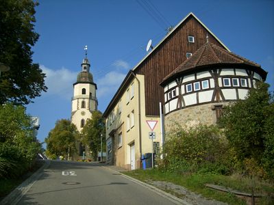
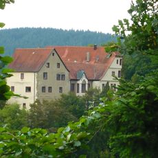
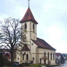
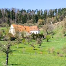
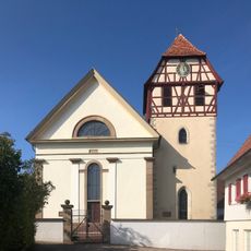
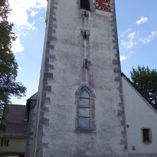
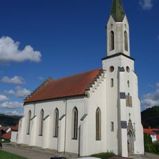
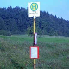
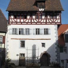
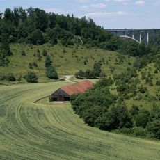
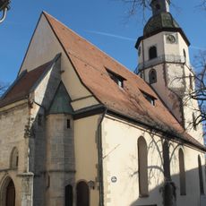
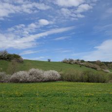
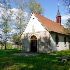
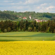
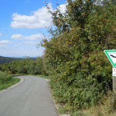
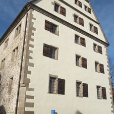
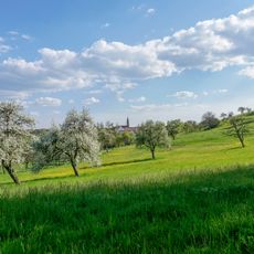
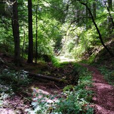
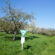
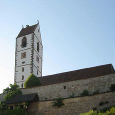
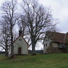
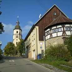
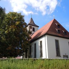
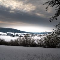
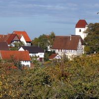
Rosenfeld, city in Zollernalbkreis, Baden-Württemberg, Germany
Location: Zollernalb
Elevation above the sea: 620 m
Shares border with: Dautmergen, Haigerloch, Geislingen, Zimmern unter der Burg, Sulz am Neckar, Epfendorf, Vöhringen, Oberndorf am Neckar
Website: https://rosenfeld.de
GPS coordinates: 48.28639,8.72417
Latest update: March 3, 2025 10:23
Schloss Lichtenegg
7.6 km
St. Mauritius
8 km
Georgskirche
2 km
Kloster Bernstein
6.7 km
Martinskirche Isingen
1.8 km
Pfarrkirche Täbingen
5 km
Evangelische Kirche
2.8 km
Sternwarte Zollern-Alb
3.4 km
Burg Rotenzimmern
4.9 km
St. Patrizius
5 km
Wasserburg Bubenhofen
2 km
Alte Apotheke
95 m
Neckartal zwischen Rottweil und Sulz
5.8 km
Stadtkirche Rosenfeld
186 m
Immerland
2.8 km
Lorettokapelle Binsdorf
4.8 km
Landschaft um Gößlingen
6.5 km
Häselteiche
2.6 km
Fruchtkasten
95 m
Loretto und Friedhof
4.6 km
Waldenbachtal
4.8 km
Eichberg
4.9 km
St. Remigius
7.3 km
4 Linden bei Maria-Hochheim
7.9 km
6 Linden (bei der Kirche)
197 m
1 Kastanie an der Kirche
2 km
6 Kastanien am Herrgottshäusle
5.6 km
3 Kastanien mit Feldkreuz
6 kmVisited this place? Tap the stars to rate it and share your experience / photos with the community! Try now! You can cancel it anytime.
Discover hidden gems everywhere you go!
From secret cafés to breathtaking viewpoints, skip the crowded tourist spots and find places that match your style. Our app makes it easy with voice search, smart filtering, route optimization, and insider tips from travelers worldwide. Download now for the complete mobile experience.
A unique approach to discovering new places❞
— Le Figaro
All the places worth exploring❞
— France Info
A tailor-made excursion in just a few clicks❞
— 20 Minutes