Zarrentin am Schaalsee
Zarrentin am Schaalsee, municipality of Germany
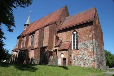
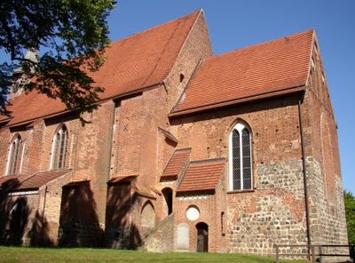
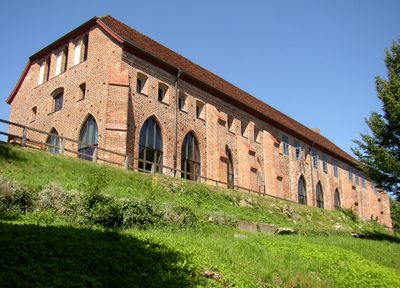
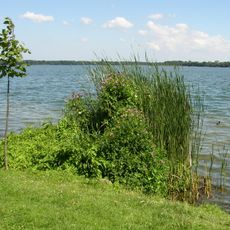
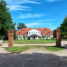
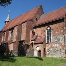
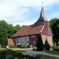
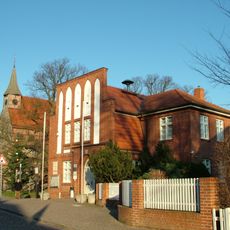
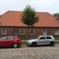
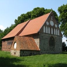
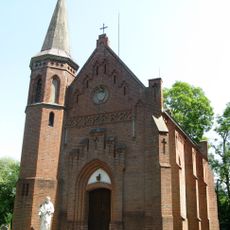
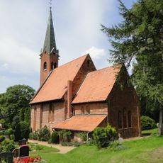
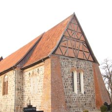
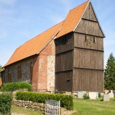
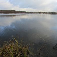
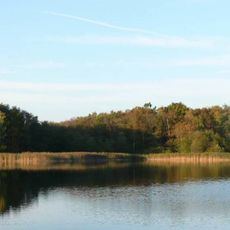
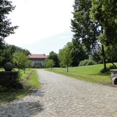
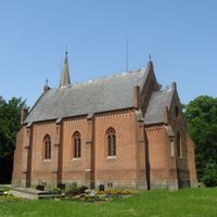
Zarrentin am Schaalsee is a small municipality in Mecklenburg-Vorpommern in northeastern Germany. The place sits on the southern shore of Lake Schaalsee and includes residential areas, a harbor, and a compact town center with older buildings from different periods.
The settlement formed along an important waterway and was first documented in the Middle Ages. Its growth was closely tied to shipping on the lake and trade, with the town changing hands and passing through different historical periods.
The town takes its name from the nearby lake and developed over centuries as a small trading hub. The historic buildings in the center still show how the community was shaped by water transport connections.
The harbor and waterfront promenade provide easy access to the lake and are centrally located in town. Visitors will find parking near the center and walkable paths to explore on foot.
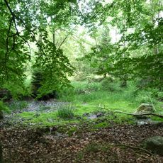
The lake forms a border with a neighboring country, giving the area a distinctive cross-border geography. This location makes the town a meeting point where two regions come together.
Location: Ludwigslust-Parchim District
Inception: 1938
Elevation above the sea: 40 m
Website: https://zarrentin.de
GPS coordinates: 53.53333,10.91667
Latest update: December 14, 2025 17:01
Schaalsee Biosphere Reserve
11.6 km
Schloss Seedorf
10.5 km
Kloster Zarrentin
2.3 km
Gut Groß Zecher
8 km
Church in Zarrentin
2.3 km
Church in Lassahn
8 km
Boissower See und Südteil des Neuenkirchener Sees
5.5 km
Kittlitzer Hofsee und Umgebung
14 km
St. Clemens und St. Katharinenkirche
10.1 km
Naturschutzgebiet Strangen
3.5 km
Moorrinne von Klein Salitz bis zum Neuenkirchener See
11 km
Hakendorfer Wälder
6.8 km
Maura und Krukenbek
13 km
Burgwall Kittlitz
14.5 km
Schönwolder Moor
13.6 km
Amtshaus Zarrentin am Schaalsee
2.3 km
Amtsstraße 12
2.2 km
Katzenturm
7.9 km
Dorfkirche Neuenkirchen
8.4 km
Church in Neuhof
6.8 km
Kirche St. Clemens - St. Katharinen
10.1 km
Heimatmuseum Zarrentin
2.3 km
St. Johannis
11.7 km
Kirche St. Johannes
11.7 km
Schaalsee mit Niendorfer Binnensee, Priestersee und Großzecher Küchensee, Phulsee, Seedorfer Küchensee und Umgebung
9.4 km
Windmühle
13.4 km
Schaalsee (MV)
8.6 km
Gut Kogel: Gutshaus
13.4 kmVisited this place? Tap the stars to rate it and share your experience / photos with the community! Try now! You can cancel it anytime.
Discover hidden gems everywhere you go!
From secret cafés to breathtaking viewpoints, skip the crowded tourist spots and find places that match your style. Our app makes it easy with voice search, smart filtering, route optimization, and insider tips from travelers worldwide. Download now for the complete mobile experience.
A unique approach to discovering new places❞
— Le Figaro
All the places worth exploring❞
— France Info
A tailor-made excursion in just a few clicks❞
— 20 Minutes