Enger

Log in to your account

AroundUs is a community-driven map of interesting places, built by curious explorers like you. It grows with every review, story, and photo you share.
Connect to save your favorite spots, contribute locations, and create personalized routes.
Continue with Google
Continue with Apple
Continue with X
Continue with Facebook
Continue with email
By continuing, you accept our Terms and Conditions and our Privacy Policy
Create an account
Add to collection
Map
Suggest a change
Share

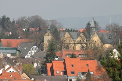
Enger, Urban municipality in Herford district, North Rhine-Westphalia, Germany.

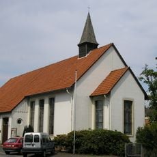
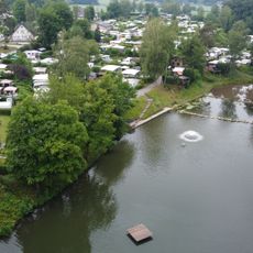
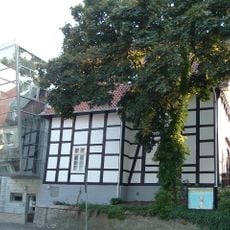
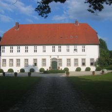
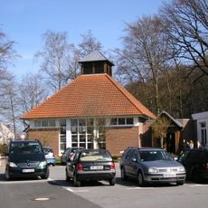
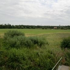
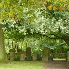
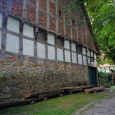
Enger is a medium-sized town in Herford district, North Rhine-Westphalia, featuring varied terrain with residential areas, small commercial streets, and green spaces. The older quarters show traditional half-timbered buildings mixed with contemporary structures.

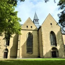
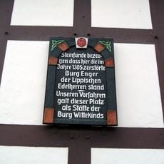
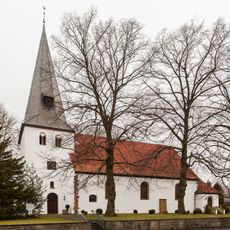
Founded in 948, the town became known as the burial place of Widukind, a Saxon leader who resisted Charlemagne's expansion into the region. This connection shaped its role in regional history.

Widukind's legacy defines how local residents see their town, and you can notice this through monuments and the way people speak about their Saxon past. The community has woven this historical connection into its daily identity.

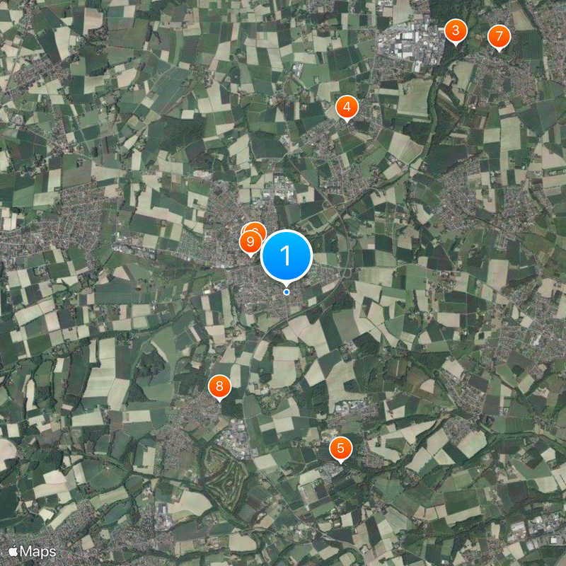
The town sits in a convenient location within the region and connects well to surrounding cities through local roads, making it easy for visitors to arrive and explore. Its position works well as a base for visiting neighboring towns and sites.

Each January, residents gather to mark a tradition honoring Widukind and their Saxon roots, keeping a historical connection alive that stretches back over a thousand years. This annual gathering reveals how deeply this past shapes the community's present.

Location: Herford

Elevation above the sea: 107 m

Shares border with: Bünde, Hiddenhausen, Herford, Bielefeld, Spenge

Website: https://enger.de

GPS coordinates: 52.13333,8.56667

Latest update: December 20, 2025 00:29

Photos
Around this place
Stiftskirche Enger
Germany

Stiftskirche Enger

883 m
Gut Bustedt
Germany

Gut Bustedt

4.7 km
Lukaskirche
Germany

Lukaskirche

2.9 km
Elisabethsee
Germany

Elisabethsee

2.8 km
Widukind Museum Enger
Germany

Widukind Museum Enger

867 m
Haus Hiddenhausen
Germany

Haus Hiddenhausen

5.1 km
Evangelische Kirche Oldinghausen-Pödinghausen
Germany

Evangelische Kirche Oldinghausen-Pödinghausen

2 km
Burg Enger
Germany

Burg Enger

810 m
St. Gangolf
Germany

St. Gangolf

5 km
Enger Bruch
Germany

Enger Bruch

1.8 km
Jüdischer Friedhof (Enger)
Germany

Jüdischer Friedhof (Enger)

2 km
Gerberei-Museum Enger
Germany

Gerberei-Museum Enger

719 m
Evangelisch-lutherische Kirche Westerenger
Germany

Evangelisch-lutherische Kirche Westerenger

3.6 km
Church of St Dionysius
Germany

Church of St Dionysius

710 m
Germany

Asbeketal

1.8 km
Germany

LSG-Tal-und Sieksysteme des Ravensberger Huegellandes und des Herforder Berglandes <"Antersiek">

2.9 km
Germany

LSG-Tal-und Sieksysteme des Ravensberger Huegellandes und des Herforder Berglandes <Siek "Unterm Berge">

4 km
Germany

LSG-Tal-und Sieksysteme des Ravensberger Huegellandes und des Herforder Berglandes <Brandbachtal>

4.4 km
Haus Hiddenhausen
Germany

Haus Hiddenhausen

5.1 km
Neuapostolische Kirche
Germany

Neuapostolische Kirche

539 m
Germany

LSG-Enger, Spenge

1.8 km
Germany

LSG-Tal-und Sieksysteme des Ravensberger Huegellandes und des Herforder Berglandes <"Fasanengrund">

2.6 km
Germany

LSG-Tal-und Sieksysteme des Ravensberger Huegellandes und des Herforder Berglandes <"Heier-Muehlenbachtal">

4.8 km
Germany

LSG-Tal-und Sieksysteme des Ravensberger Huegellandes und des Herforder Berglandes <"Rottsiek">

2.5 km
Germany

Friedhofskapelle

1.1 km
Germany

Holzhandwerksmuseum Hiddenhausen

5 km
Germany

Kleinbahnmuseum Enger

933 m
Germany

LSG-Tal-und Sieksysteme des Ravensberger Huegellandes und des Herforder Berglandes <Siek "In der Bomke">

3.1 km
Show the full map
Reviews

Visited this place? Tap the stars to rate it and share your experience / photos with the community! Try now! You can cancel it anytime.

« Enger - Urban municipality in Herford district, North Rhine-Westphalia, Germany » is provided by Around Us (aroundus.com). Images and texts are derived from Wikimedia project under a Creative Commons license. You are allowed to copy, distribute, and modify copies of this page, under the conditions set by the license, as long as this note is clearly visible.

Discover hidden gems everywhere you go!

From secret cafés to breathtaking viewpoints, skip the crowded tourist spots and find places that match your style. Our app makes it easy with voice search, smart filtering, route optimization, and insider tips from travelers worldwide. Download now for the complete mobile experience.

Around Us App Screenshot

A unique approach to discovering new places

Le Figaro

All the places worth exploring

France Info

A tailor-made excursion in just a few clicks

20 Minutes