Spenge, municipality of Germany
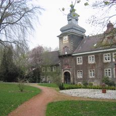
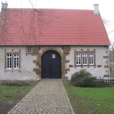
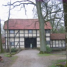
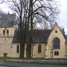
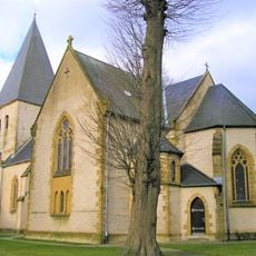
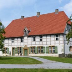
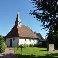
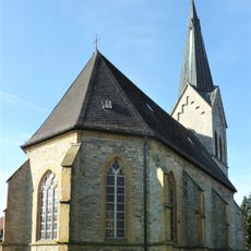
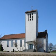
Spenge is a small town in Herford with a core area dating from the Middle Ages and Renaissance periods. The settlement consists of several neighborhoods including Bardüttingdorf, Hücker-Aschen, and Lenzinghausen, featuring churches, a 15th-century castle, and old timber-framed houses lining narrow streets.
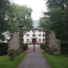
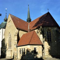
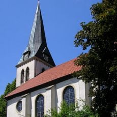
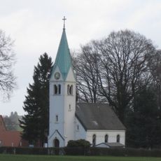
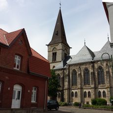
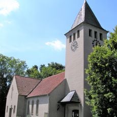
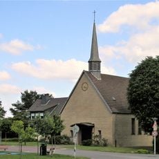
People have inhabited this area since the Stone Age, with finds from the Bronze Age period. The current town center took shape in the Middle Ages with the Parish Church of Martin built in 1470 and Schloss Mühlenburg from 1468, both marking a long history of settlement.
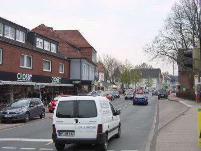
Spenge carries a name rooted in medieval settlement patterns of the region. The old town reveals itself through timber-framed houses and narrow streets where visitors sense the pace of daily life and encounter local cafes and small shops.
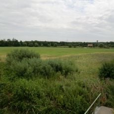
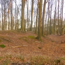
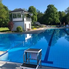
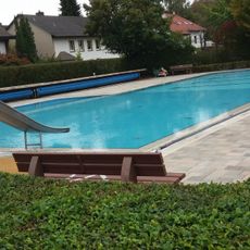
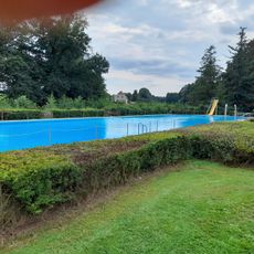
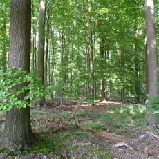
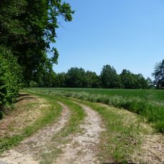
The old town is best explored on foot, with pedestrian zones for shopping and dining. The surrounding forests offer marked trails for walkers and cyclists of varying difficulty, and two outdoor pools provide relaxation after outdoor activities.
Spenge is known for a tradition where fans bring a black banner with the town's white name to international sports events like football World Cups. This custom demonstrates strong local pride and community connection that extends far beyond the small town.
The community of curious travelers
AroundUs brings together thousands of curated places, local tips, and hidden gems, enriched daily by 60,000 contributors worldwide.