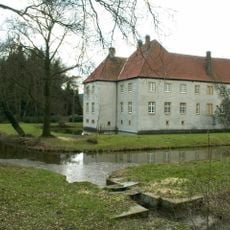
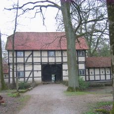
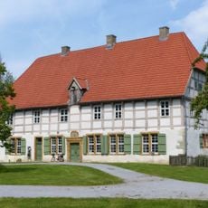
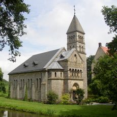
Schloss Königsbrück, Medieval water castle in Neuenkirchen, Melle, Germany
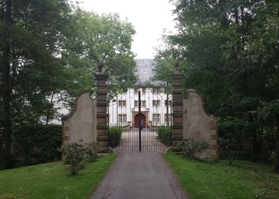
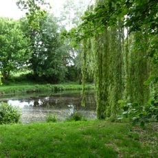
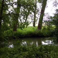
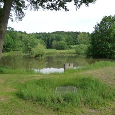
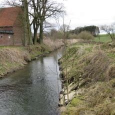
Schloss Königsbrück is a water castle in the Neuenkirchen district of Melle with only one remaining wing extending 45 meters across three floors. The structure was originally surrounded by water features and sits near the Warmenau River, which marks the border between Lower Saxony and North Rhine-Westphalia.
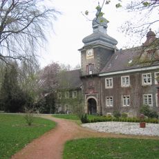
The castle first appeared in written records in 1063 when Bishop Friedrich I of Münster received it from King Henry IV. Over the following centuries, multiple reconstructions and renovations changed its appearance, leaving behind the mixed architectural styles visible today.
The building showcases architectural elements from different periods, with its heavy stone structure and vaulted cellars reflecting the ways medieval builders adapted their techniques over generations.
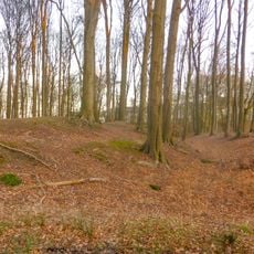
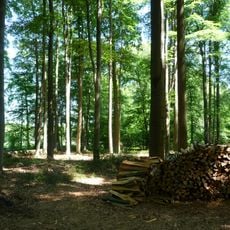
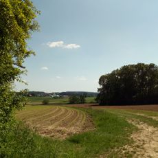
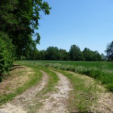
The castle is accessible via rural roads through flat countryside at the state border, making it easy to explore on foot. The surroundings offer good views of the regional landscape and are straightforward to navigate.
A 1.5-kilometer-long water system made from hollowed tree trunks once supplied water to the castle complex. This simple but effective solution shows how medieval inhabitants managed their water needs using only the materials they had available.
The community of curious travelers
AroundUs brings together thousands of curated places, local tips, and hidden gems, enriched daily by 60,000 contributors worldwide.