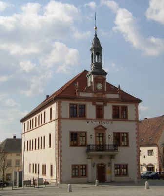
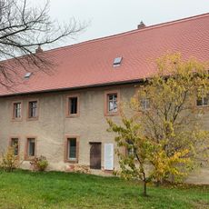
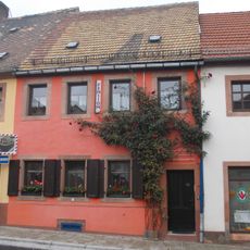
Geithain, Urban municipality in Landkreis Leipzig, Germany
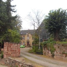
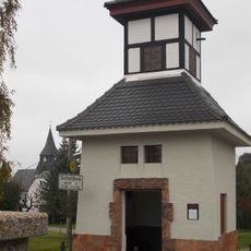
Geithain is an urban municipality in Landkreis Leipzig, situated in the rolling landscape of Saxony southeast of Leipzig. The town has a railway station where two regional lines connect, serving as a transport hub for the area.
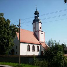
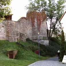
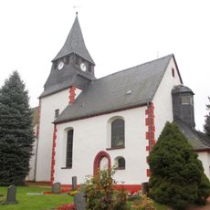
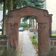
The earliest record of the town dates to 1186, when church revenues were given to the Bishop of Merseburg. This early documentation shows its role in the medieval church structure of the region.
The town's name comes from Old Sorbian origins, connecting it to the region's Slavic roots. This heritage shapes how the place is understood locally and historically.
The town is best reached via the railway station where connections serve regional destinations. Visitors can use these rail links to travel to and from nearby towns and cities in the area.
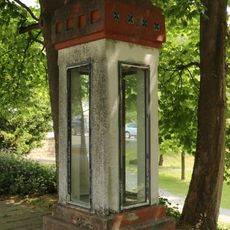
In the medieval period, a water system made of wooden pipes and cisterns was constructed and operated for about 600 years. This early engineering solution reveals how residents created practical ways to manage water supply long before modern infrastructure.
The community of curious travelers
AroundUs brings together thousands of curated places, local tips, and hidden gems, enriched daily by 60,000 contributors worldwide.