Chest opened
+${chestReward.xp} XP
Explorer
NOUVEAU ×${chestReward.collectible.quantity}
tapez pour fermer
Chest locked

Open chests in the app

Around Us is built for your phone — chests unlock when you walk, explore and capture nearby places.

Enable Location

We need your location to show you interesting places around you

Discover nearby places

Find interesting locations and hidden gems around you

Precise directions

Get accurate directions and distances to places

Your location is never shared with other users. It's only used when you tap the location button.

Bundesautobahn 33

Log in to your account

Start exploring — it's free

Trusted by 72,889 travelers worldwide

Continue with Google
Continue with Apple
or

We will send you a code to connect

By continuing, you accept our Terms and Conditions and our Privacy Policy

Check your inbox

We've sent a pincode in your inbox. Please enter the code below.

Bundesautobahn 33
Discussion Reviews 1 Photos
33.7k Popularity

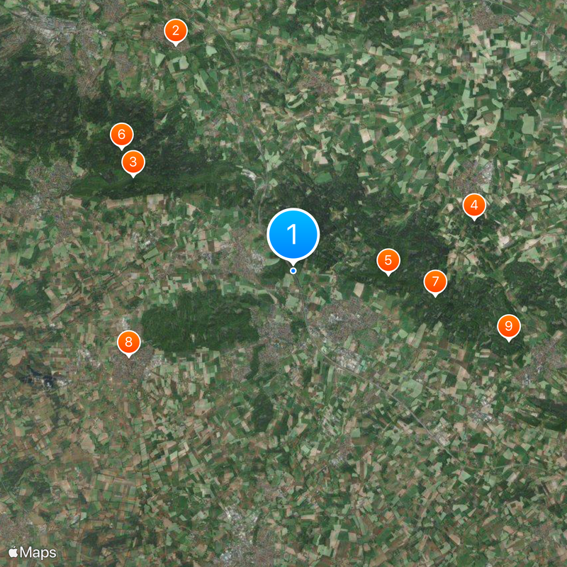
Bundesautobahn 33, Federal motorway in Lower Saxony and North Rhine-Westphalia, Germany.

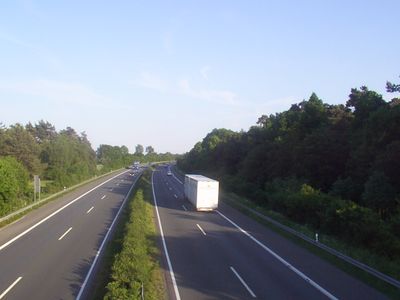
Bundesautobahn 33 is a four-lane expressway spanning 106 kilometers across Lower Saxony and North Rhine-Westphalia, linking A30 in the north with A44 in the south. Multiple service areas and rest stops are positioned along the corridor to serve travelers and commercial traffic.

Development began in the 1960s as a federal road B68 before sections were progressively upgraded to motorway standards. This gradual transformation created a connected expressway network serving northwest Germany.

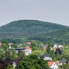
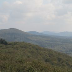
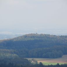
Between Osnabrück and Bielefeld, sections bear the name Teutoburger-Wald-Autobahn, referencing the mountain range that defines the local landscape. Further south toward Paderborn, the road is called Senneautobahn, named after the sandy plain that characterizes that region.

The route features clear signage and multiple rest areas where travelers can stop and check directions. Traffic information is available through German transportation systems to help plan your journey effectively.

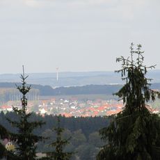
A 700-meter tunnel near Dissen was constructed specifically to shield the nearby town of Bad Rothenfelde from traffic noise. This engineering solution demonstrates how highway construction can balance connectivity with environmental protection for residents.

The community of curious travelers

AroundUs brings together thousands of curated places, local tips, and hidden gems, enriched daily by 60,000 contributors worldwide.

Start exploring
Location
GPS coordinates
52.12944,8.17389
Latest update
December 19, 2025 23:24
Reviews
Share your experience

No review yet

Discussions
Start a discussion...

No discussion yet

« Bundesautobahn 33 - Federal motorway in Lower Saxony and North Rhine-Westphalia, Germany » is provided by Around Us (aroundus.com). Images and texts are derived from Wikimedia project under a Creative Commons license. You are allowed to copy, distribute, and modify copies of this page, under the conditions set by the license, as long as this note is clearly visible.

Discover hidden gems everywhere you go!

From secret cafés to breathtaking viewpoints, skip the crowded tourist spots and find places that match your style. Our app makes it easy with voice search, smart filtering, route optimization, and insider tips from travelers worldwide. Download now for the complete mobile experience.

Around Us App Screenshot

A unique approach to discovering new places

Le Figaro

All the places worth exploring

France Info

A tailor-made excursion in just a few clicks

20 Minutes

Around Us
Travel Guide & Maps
Download

Send to your phone

QR Code
1

Open the camera app on your mobile.

2

Point at the QR code with your camera. A notification will appear.

3

Tap the notification to open the link.