Anröchte, municipality in the district of Soest, in North Rhine-Westphalia, Germany
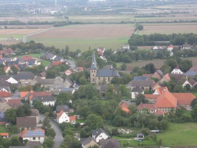
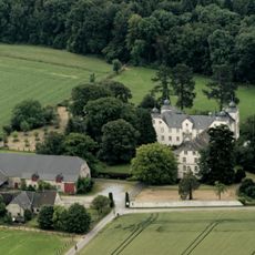
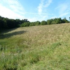
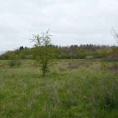
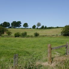
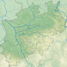
Anröchte is a municipality in the Soest district with ten villages and around 11,000 residents spread across farmland, forests, and rural communities. It sits at the northern edge of the Haarstrang hills, roughly 13 kilometers south of Lippstadt and 15 kilometers east of Soest.
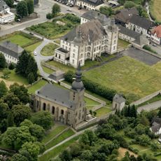
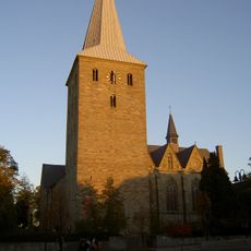
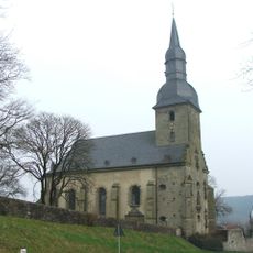
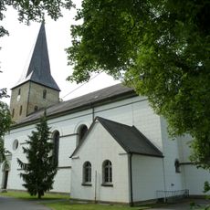
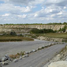
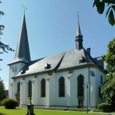
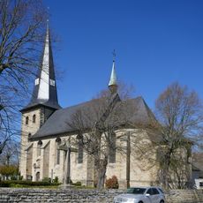
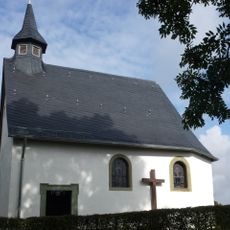
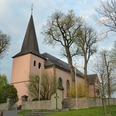
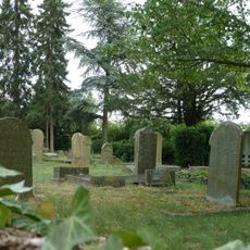
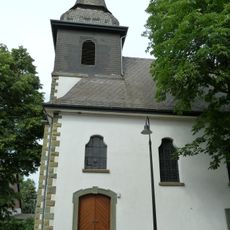
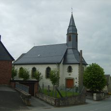
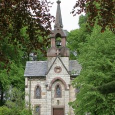
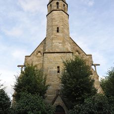
The area became known for green sandstone quarrying from the 1100s onward, extracting a bright green stone used in churches and buildings throughout the region. St. Pankratius church, built around 1180, demonstrates the early use of this distinctive local material in construction.
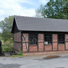
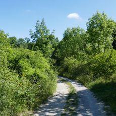
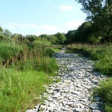
Well-maintained cycling and walking paths connect the town with neighboring villages like Altenmellrich and Effeln, allowing you to explore at your own pace. A local stone museum on the main street offers displays about quarrying history and welcomes families and curious visitors.
The green sandstone from Anröchte was used to build churches and houses throughout the region and still gives nearby Soest its distinctive soft green appearance today. This bright green stone was highly prized by medieval builders and remains a defining feature of local architecture.
The community of curious travelers
AroundUs brings together thousands of curated places, local tips, and hidden gems, enriched daily by 60,000 contributors worldwide.