Bad Laer, municipality of Germany
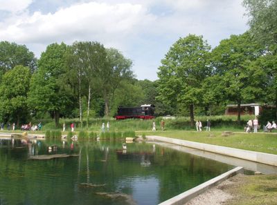
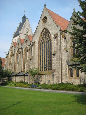
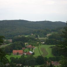
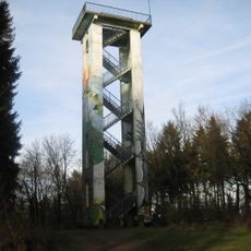
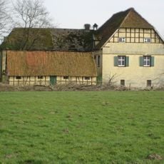
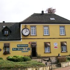
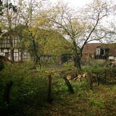
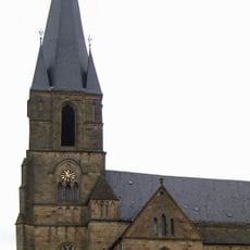
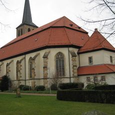
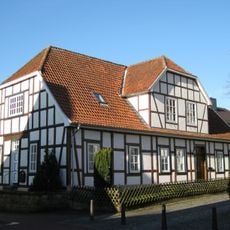
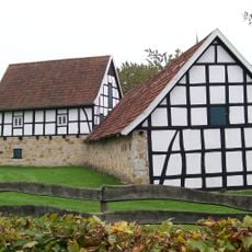
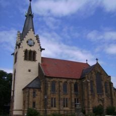
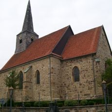
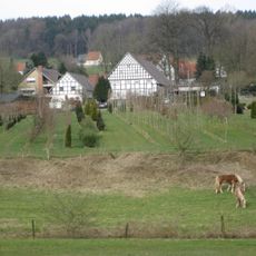
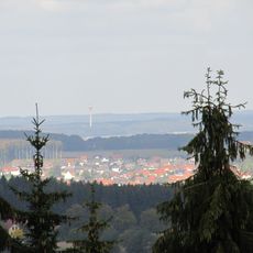
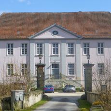
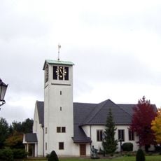
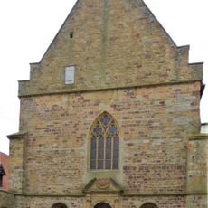
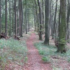
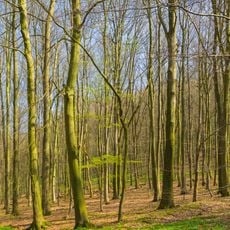
Bad Laer is a small designated spa town in the Osnabrück region located at the edge of the Teutoburg Forest and surrounded by fields and woodlands. It features natural mineral springs and contemporary spa facilities, while traditional half-timbered buildings line the streets and over 100 kilometers of hiking and cycling paths crisscross the surrounding landscape.
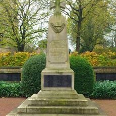
Bad Laer grew from a small village into a popular health resort over many decades as the healing properties of its natural mineral springs became known. The region holds deep historical roots, including the Battle of the Teutoburg Forest over 2000 years ago, which shaped the area's subsequent development.
Bad Laer takes pride in its role as a healing spa town, and this heritage shapes daily life and local gatherings. The community keeps regional customs alive through small festivals and markets where visitors can see traditional crafts and taste local foods like asparagus and gingerbread.
The town is easily reached by car via main roads or by train from Osnabrück, roughly 27 kilometers away, with regular bus connections from there. It is straightforward to explore on foot and works well for visitors who want to use bicycles on the numerous walking and cycling trails that run through the entire region.
Bad Laer features a specially marked walking path called the 'Liegende Acht' that guides visitors through the old town while revealing historical details along the way. Another distinctive feature is that guests receive a visitor card providing discounts at nearby shops and attractions throughout the region.
The community of curious travelers
AroundUs brings together thousands of curated places, local tips, and hidden gems, enriched daily by 60,000 contributors worldwide.