
Hohenwestedt, municipality of Germany
Location: Mittelholstein
Location: Rendsburg-Eckernförde
Elevation above the sea: 61 m
Website: https://hohenwestedt.de
GPS coordinates: 54.08333,9.66667
Latest update: March 4, 2025 17:52
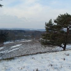
Box-Berg
4.8 km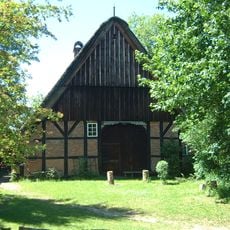
Dat ole Hus
8.7 km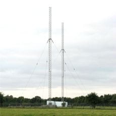
Ehndorf transmitter
12.7 km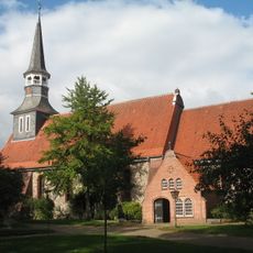
Bonifatiuskirche
12.8 km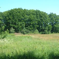
Burg Bori
8.5 km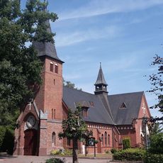
Aukrug church
7.8 km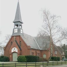
Christuskirche (Hennstedt)
6.6 km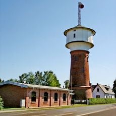
Wasserturm Hohenlockstedt
12.7 km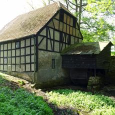
Bünzer Wassermühle
8.9 km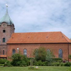
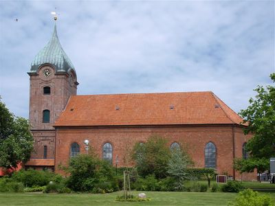
Peter-Pauls-Kirche (Hohenwestedt)
1.2 km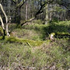
Tönsheider Wald
7.6 km
Hohenwestedt-Land
0 m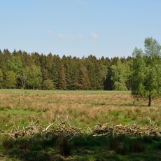
Reher Kratt
5.7 km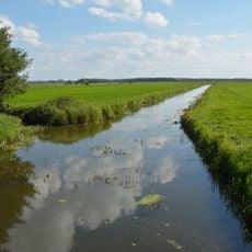
Haaler Au
8.2 km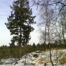
Dithmarscher Berge
10.5 km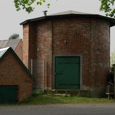
Wasserturm Aukrug-Böken
8.8 km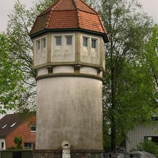
Wasserturm Remmels
3.9 km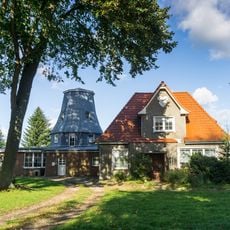
Windmühle Puls
9.4 km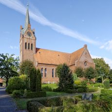
Todenbüttel Kirche
8.9 km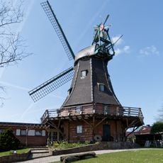
Windmühle „Senta“
8.7 km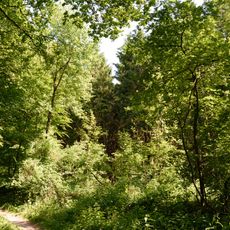
Joachimsquelle
5.3 km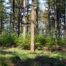
Moore bei Christinenthal
8.6 km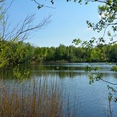
Reher Kratt
5.6 km
Heimatmuseum Burmesterhaus
1.4 km
Stolperstein dedicated to Ernst Bamberger
4.1 km
Stolperstein dedicated to Cäcilie Bamberger
4.1 km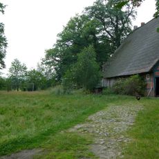
Hof Gripp: Scheune
12.3 km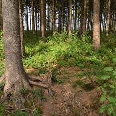
Landschaftsteil "Waldfläche Wulfshorst"
11.9 kmReviews
Visited this place? Tap the stars to rate it and share your experience / photos with the community! Try now! You can cancel it anytime.
Discover hidden gems everywhere you go!
From secret cafés to breathtaking viewpoints, skip the crowded tourist spots and find places that match your style. Our app makes it easy with voice search, smart filtering, route optimization, and insider tips from travelers worldwide. Download now for the complete mobile experience.

A unique approach to discovering new places❞
— Le Figaro
All the places worth exploring❞
— France Info
A tailor-made excursion in just a few clicks❞
— 20 Minutes