
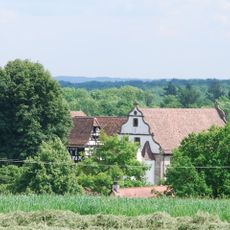
Weißbach, municipality in Baden-Württemberg, Germany
Location: Hohenlohe
Location: Mittleres Kochertal GVV
Elevation above the sea: 201 m
Website: http://gemeinde-weissbach.de
GPS coordinates: 49.30000,9.60000
Latest update: March 7, 2025 10:20

Schloß Hermersberg
2.7 km
Burg Forchtenberg
2.9 km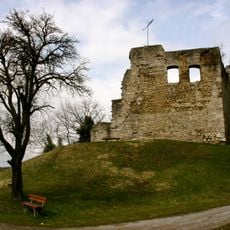
Burg Lichteneck (Ingelfingen)
4 km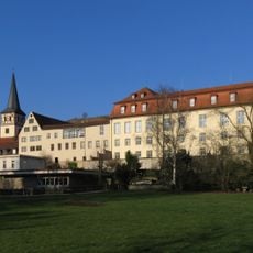
Neues Schloss Ingelfingen
3.8 km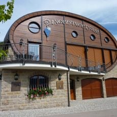
Ingelfinger Fass
3.2 km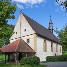
Wallfahrtskapelle Neusaß
6.2 km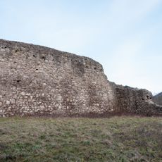
Ruine Zarge
5.1 km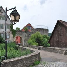
Burg Nagelsberg
5.6 km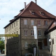
Muschelkalkmuseum Hagdorn
3.7 km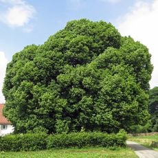
Neusasser Linde
6.2 km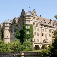
Ruine Stein
6.2 km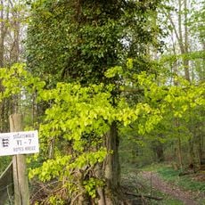
Jagsttal bei Schöntal und Klosterwald
6.2 km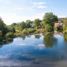
Jagsttal Dörzbach - Krautheim
7.2 km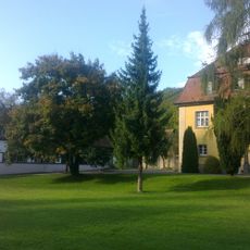
Schlössle (Weißbach)
1 km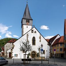
Laurentiuskirche
1.2 km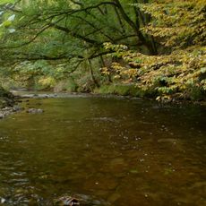
Ohrn-, Kupfer- und Forellental
4 km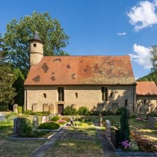
Michaeliskirche
3.2 km
Bildstock 1625
5.1 km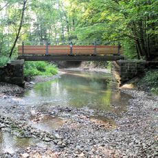
Kupfertal
3.8 km
Hirschgang einschließlich 3 Eichen und 1 Linde
3.4 km
Hofstatt
3 km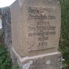
Alte Deubachbrücke Nagelsberg
5.4 km
Soldatenfriedhof Niedernhall Hermersberg
1.9 km
1 Stieleiche mit Andachtsstätte
4.9 km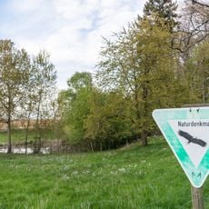
2 Feuchtbiotope
6.2 km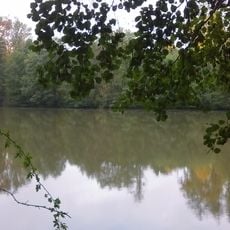
Dachsbauweiher
4.8 km
Kleeb
5.9 km
Criesbach Bridge
2.6 kmReviews
Visited this place? Tap the stars to rate it and share your experience / photos with the community! Try now! You can cancel it anytime.
Discover hidden gems everywhere you go!
From secret cafés to breathtaking viewpoints, skip the crowded tourist spots and find places that match your style. Our app makes it easy with voice search, smart filtering, route optimization, and insider tips from travelers worldwide. Download now for the complete mobile experience.

A unique approach to discovering new places❞
— Le Figaro
All the places worth exploring❞
— France Info
A tailor-made excursion in just a few clicks❞
— 20 Minutes