Simmern, District capital in Hunsrück region, Germany
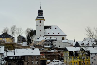
Simmern is a district capital in the Hunsrück region located at about 400 meters elevation, with the Simmerbach River running through its historic core. The town serves as an administrative hub for the surrounding area and combines traditional structures with modern urban functions.
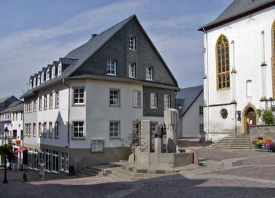
The town received city rights from Emperor Louis the Bavarian in 1330, which transformed it into a regional trade hub. This charter fundamentally changed its position in the Hunsrück region and established its role as an administrative and commercial center.
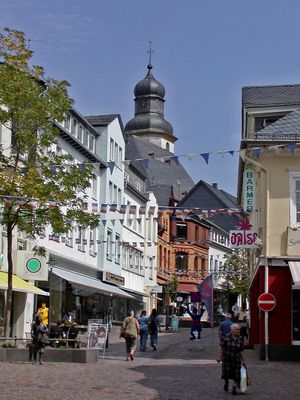
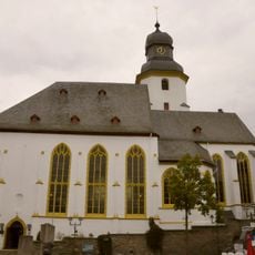
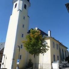
The Evangelical Church of St. Stephen dominates the town center with its Gothic structure and continues to serve as a gathering place for worship and community events. Its presence shapes how locals and visitors experience the heart of the town.
The town has several schools and vocational training facilities that may interest visitors with educational purposes. As a district capital, it provides the services and infrastructure one would expect from a regional administrative center.
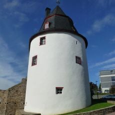
The Schinderhannes Tower, originally built as a powder storage structure, contains a historic jail cell where the notorious outlaw Johannes Bückler was held in 1799. This connection to a famous figure in regional folklore makes the tower a compelling link to the area's past.
The community of curious travelers
AroundUs brings together thousands of curated places, local tips, and hidden gems, enriched daily by 60,000 contributors worldwide.