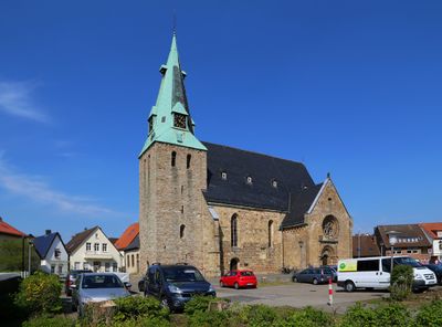
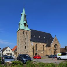
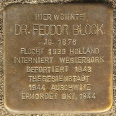
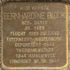
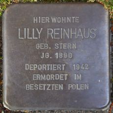
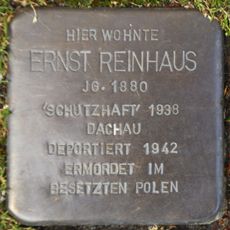
Westerkappeln, municipality of Germany
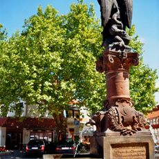
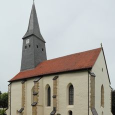
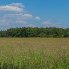
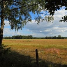
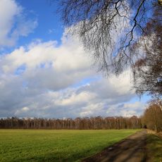
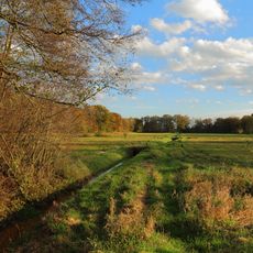
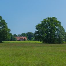
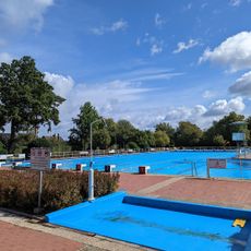
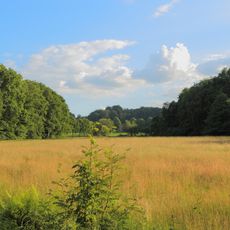
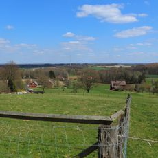
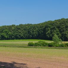
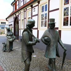
Westerkappeln is a municipality in Steinfurt district in North Rhine-Westphalia and consists of several villages and surrounding landscapes. The municipal area spreads across gentle hills and farmland interspersed with small patches of forest.
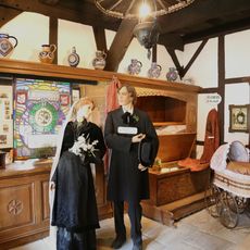
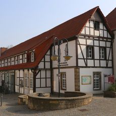
The area was settled in medieval times and developed as a community in this region. The current municipality took shape through administrative reforms in the 20th century.
The municipality is easy to reach by car or public transport and lies close to the city of Osnabrück. Visitors should plan to visit individual villages separately since they are not immediately adjacent to each other.
The community of curious travelers
AroundUs brings together thousands of curated places, local tips, and hidden gems, enriched daily by 60,000 contributors worldwide.