Steinfurt, Rural district in North Rhine-Westphalia, Germany
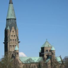
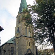
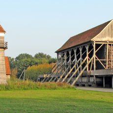
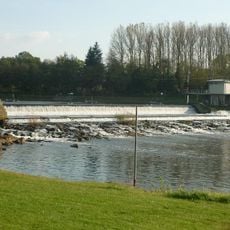
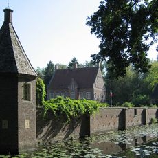
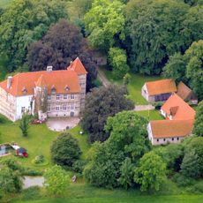
Steinfurt is a rural district in northern North Rhine-Westphalia that brings together 24 municipalities scattered across gently rolling countryside. The territory includes small towns and villages separated by farmland and follows the course of the Ems river through parts of Münsterland toward the Lower Saxony border.
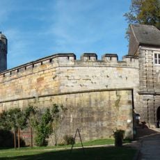
The current district took shape in 1975 when former districts Steinfurt and Tecklenburg merged with sections of Münster district. This reorganization combined older administrative structures that traced back to medieval counties and church territories.
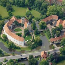
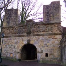
Locals often refer to the area by its former county names when describing where they live within the broader district. The swan emblem appears on signs throughout the region, connecting modern administration with older territorial divisions.
Visitors traveling between municipalities usually follow country roads that wind through open fields and occasional patches of woodland. Regional train lines connect larger towns within the area, making it possible to explore without relying solely on a car.
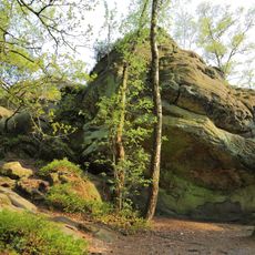
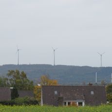
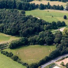
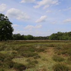
Ground level shifts from 32 meters (105 feet) near Bentlage Castle up to 234 meters (768 feet) at Westerbecker Berg, a notable range for the northern German plains. This variation creates a rolling horizon and breaks up what might otherwise feel like uninterrupted flatland.
The community of curious travelers
AroundUs brings together thousands of curated places, local tips, and hidden gems, enriched daily by 60,000 contributors worldwide.