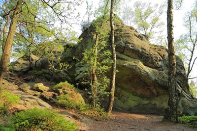
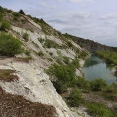
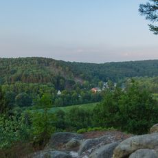
Dörenther Klippen, Sandstone cliffs in Ibbenbüren, Germany.
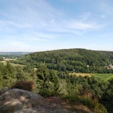
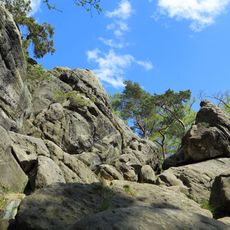
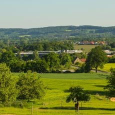
Dörenther Klippen forms a sandstone ridge in the Teutoburg Forest near Ibbenbüren that rises about 150 meters above the surrounding woodland over a length of roughly four kilometers. The rock face shows distinct layers with cracks and overhangs carved by wind and weather over millions of years.
Tectonic shifts pushed ancient beach sand deposits to the surface around 120 million years ago, compressing them into the sandstone layers visible today. Erosion and weathering gradually shaped the rock into its current form over the following millennia.
Local folklore tells of a mother who turned to stone at these cliffs while protecting her children from rising floods, creating the Hockendes Weib formation.
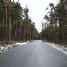
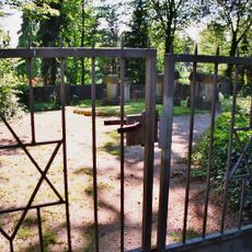
Several hiking routes begin at the car park along highway B219 and lead through the area with options ranging from five to 21 kilometers. Paths can be narrow and rocky in sections, so sturdy footwear helps when walking through the terrain.
More than 150 species of lichens and mosses grow on the rocks, making the protected area an important site for rare plants in North Rhine-Westphalia. This diversity thrives particularly well in the cracks and shaded parts of the sandstone surfaces.
The community of curious travelers
AroundUs brings together thousands of curated places, local tips, and hidden gems, enriched daily by 60,000 contributors worldwide.