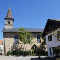
Bad Wünnenberg, municipality of Germany
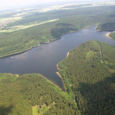
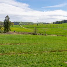
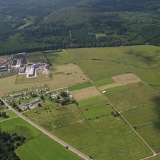
Bad Wünnenberg is a spa town in the Paderborn district, composed of seven quarters and situated between Marsberg and Büren. Forests and rolling hills define the landscape, crossed by well-marked walking and cycling paths and the Aabach-Talsperre, a large reservoir nearby.
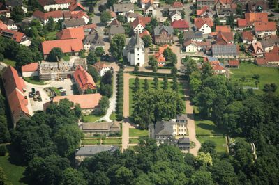
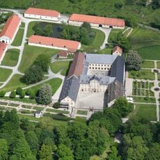
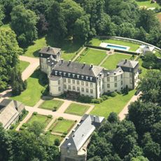
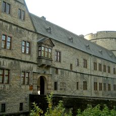
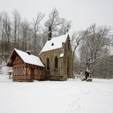
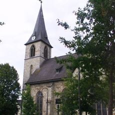
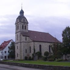
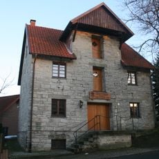
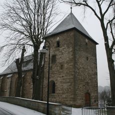
Bad Wünnenberg was founded in the early 1300s and preserves traces of these medieval origins in its streets. A prominent sign of this past is a fortified tower from the 13th century, originally built to protect against attacks from the south and now open to visitors.
Bad Wünnenberg's name reflects its connection to healing waters and the Kneipp water therapy tradition that shapes daily life here. Visitors can see wellness basins and water treatment areas throughout the town, revealing how central natural healing methods are to the community's identity.
The area is best explored on foot or by bike using the numerous trails that wind through forests and around the reservoir. Guided tours are available that showcase seventeen historical information points and clarify the story of the town.
The Erlebnis-Barfußpfad is more than one kilometer long and invites visitors to walk barefoot on different natural surfaces like stones, grass, and wood. This unusual experience strengthens the feet and creates a direct connection to nature, something rarely found in other places.
The community of curious travelers
AroundUs brings together thousands of curated places, local tips, and hidden gems, enriched daily by 60,000 contributors worldwide.