
Münster, municipality of Germany
Location: Donau-Ries
Elevation above the sea: 413 m
Part of: Verwaltungsgemeinschaft Rain
Website: http://gemeinde-muenster.de
GPS coordinates: 48.63333,10.90000
Latest update: March 3, 2025 02:07

Gut Schwaighof
5.8 km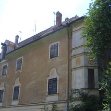
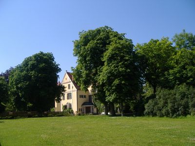
Schloss Unterbaar
6.5 km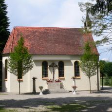
Maria im Elend
6.3 km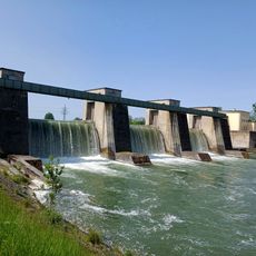
Lechstaustufe Ellgau
4.3 km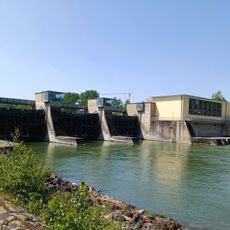
Lechstaustufe Oberpeiching
2.1 km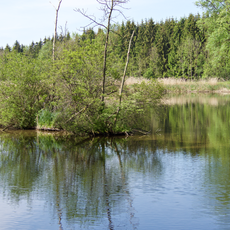
Lechauen bei Thierhaupten
5.6 km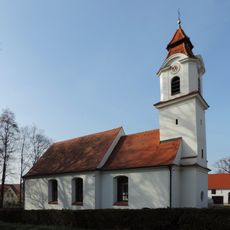
St. Margareta
6.4 km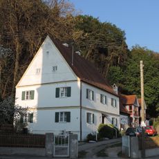
Pfarrhaus Oberbaar (Baar
7.2 km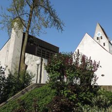
St. Peter und Paul
986 m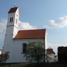
St. Nikolaus
4.6 km
Katholische Pfarrkirche St. Lorenz
7.2 km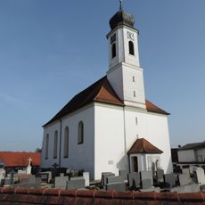
Mariä Himmelfahrt
4.4 km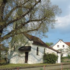
Katholische Filialkirche Vierzehn Nothelfer
6.2 km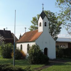
Marienkapelle
4.9 km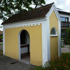
Lourdeskapelle Nordendorf
6.4 km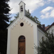
Kapelle Maria Dolorosa
4.9 km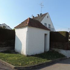
Wegkapelle
4.6 km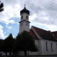
Alte katholische Pfarrkirche St. Ulrich
4.3 km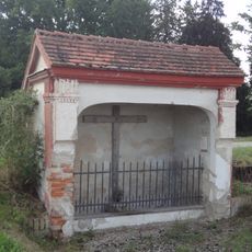
Wegkapelle zur Heiligen Säule
6 km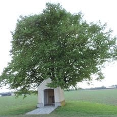
Marienkapelle
2 km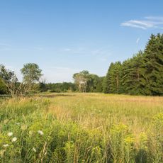
Lechheide-Sachsenwald südlich von Oberpeiching
1 km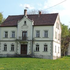
Villa
6.2 km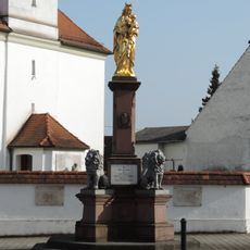
Kriegerdenkmal
4.3 km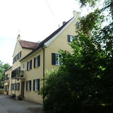
Ehemaliges Schloss
4.4 km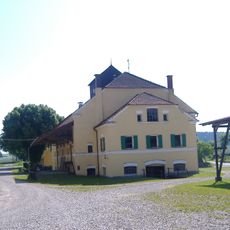
Ehemals Verwalterhaus
2.8 km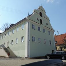
Ehemaliges Gasthaus, jetzt Wohnhaus
4.3 km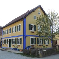
Dreiseithof
6 km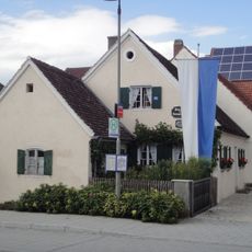
Wohnteil eines ehemaligen Bauernhauses
7.4 kmVisited this place? Tap the stars to rate it and share your experience / photos with the community! Try now! You can cancel it anytime.
Discover hidden gems everywhere you go!
From secret cafés to breathtaking viewpoints, skip the crowded tourist spots and find places that match your style. Our app makes it easy with voice search, smart filtering, route optimization, and insider tips from travelers worldwide. Download now for the complete mobile experience.

A unique approach to discovering new places❞
— Le Figaro
All the places worth exploring❞
— France Info
A tailor-made excursion in just a few clicks❞
— 20 Minutes