Kochelsee, Alpine lake in Upper Bavaria, Germany
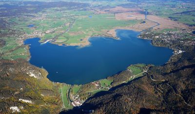
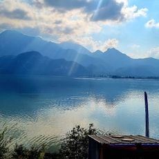
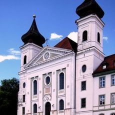
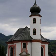
Kochelsee is a body of water in Upper Bavaria that spreads across the municipalities of Kochel and Schlehdorf in southern Germany. The lake reaches down to 66 meters at its deepest point and is surrounded by mountains to the south and wetland areas to the north.
The lake was formed during the last ice age when glaciers moved through the region and hollowed out the basin that now holds it. When the glaciers melted thousands of years ago, water filled this depression and created the lake we see today.
The name Kochelsee derives from the Latin word 'cocula', meaning head or cone, reflecting the Roman influence in the Bavarian Alpine region.
You can reach the lake by heading about 70 kilometers south of Munich, where the towns of Kochel and Schlehdorf sit on opposite shores. Walking or driving around the perimeter gives you access to different viewpoints, though the steep mountain slopes on the southern side limit where you can easily walk.
Two major rivers feed water into the lake and connect it to the Danube River basin, making it part of a larger water system that extends far beyond what you see. Visitors often don't realize that the water they see here eventually travels eastward and becomes part of the greater river network flowing toward central Europe.
The community of curious travelers
AroundUs brings together thousands of curated places, local tips, and hidden gems, enriched daily by 60,000 contributors worldwide.