Bavarian Alpine Foreland, Geographic region in Bavaria, Germany.
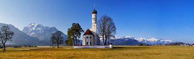
The Bavarian Alpine Foreland is a region of rolling hills and plateaus stretching across a broad area between 400 and 750 meters in elevation. The landscape features gentle slopes, scattered lakes, valleys, and expanses of farmland.
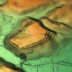
Glaciers during the last ice age sculpted this landscape, leaving behind valleys, lakes, and layers of sediment. These geological features remain the defining characteristic of the region.
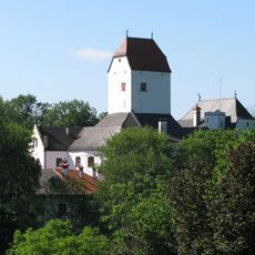
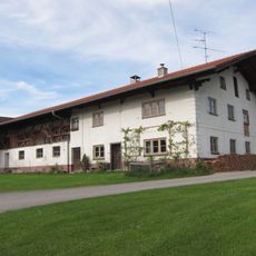
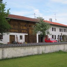
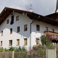
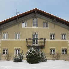
The region blends small farming communities and rural customs with major cities like Munich, Augsburg, and Ingolstadt. Walking through it, you notice how villages and agricultural land mix with urban centers, showing how people have shaped this area over centuries.
Soil conditions vary across the region: some areas have poor, sandy soils, while other zones contain fertile loess deposits suitable for crops and grazing. When exploring, you'll notice how soil quality shapes what grows where and how land is used.
The region holds notable glacial lakes such as Lake Starnberg and Chiemsee, formed through intense erosion by ancient ice masses. These waters are defining features that give the landscape its character.
The community of curious travelers
AroundUs brings together thousands of curated places, local tips, and hidden gems, enriched daily by 60,000 contributors worldwide.